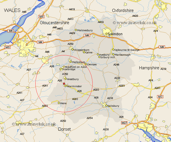
Wiltshire Map Showing Location of Upton Scudamore
Population: 307
District: West Wiltshire
Easting: 386032 Northing: 146465
Latitude: 51.22 Longitude: -2.2
 = Upton Scudamore
District: West Wiltshire
Easting: 386032 Northing: 146465
Latitude: 51.22 Longitude: -2.2
= Upton Scudamore
This Upton Scudamore map below is supplied by Google. Use the tools in the top left corner to zoom into street level or zoom out for a road map, you may also need to zoom in to see Upton Scudamore on the map. Click and drag the map to move around. If the map fails to load try and refresh your browser or zoom in or out (+ or -).
Update - it seems Google no longer allow people to use their maps for free! This Upton Scudamore map sometimes loads and sometimes gives a error. I am working on a solution.
Closest 30 Towns or Cities to Upton Scudamore (Population over 500)
Dilton 1.85km Warminster 2.19km Corsley 3.48km Westbury 3.88km Longbridge Deverill 5.56km Heytesbury 6.89km North Bradley 7.5km Southwick 7.76km Bratton 8.04km Edington 8.91km Steeple Ashton 10.36km Hilperton 11.18km Trowbridge 11.36km Erlestoke 11.87km Westwood 12.54km Codford 12.82km Bradford on Avon 12.97km Bradford-on-Avon 12.97km Hindon 13.78km West Lavington 14.41km Worton 14.48km Holt 14.82km Semington 15.22km Mere 15.24km Zeal 15.32km Zeals 15.32km Limpley Stoke 15.94km Broughton Gifford 16.72km Market Lavington 16.8km Lavington 16.8km