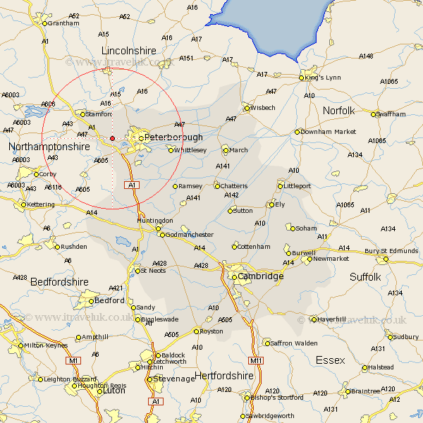
Cambridgeshire Map Showing Location of Upton
Population: 72
Easting: 510651 Northing: 299680
Latitude: 52.58 Longitude: -0.37
 = Upton
Easting: 510651 Northing: 299680
Latitude: 52.58 Longitude: -0.37
= Upton
This Upton map below is supplied by Google. Use the tools in the top left corner to zoom into street level or zoom out for a road map, you may also need to zoom in to see Upton on the map. Click and drag the map to move around. If the map fails to load try and refresh your browser or zoom in or out (+ or -).
Update - it seems Google no longer allow people to use their maps for free! This Upton map sometimes loads and sometimes gives a error. I am working on a solution.
Closest 30 Towns or Cities to Upton (Population over 500)
Castor 2.91km Helpston 4.34km Helpstone 4.34km Barnack 4.34km Elton 5.67km Orton Waterville 5.83km Wittering 5.93km Peterborough 7.88km Petersborough 7.88km Peterbrough 7.88km Glinton 7.91km Northborough 9.31km Farcet 10.59km Newborough 10.79km Folksworth 12km Yaxley 12.17km Stilton 12.47km Eye 12.52km Holme 15.79km Whittlesey 16.2km Sawtry 18km Thorney 18.39km Ramsey 22.49km Alconbury 25.02km Bury 25.87km Wistow 27.23km Spaldwick 27.89km Warboys 28.78km Ellington 30.18km Huntingdon 30.45km