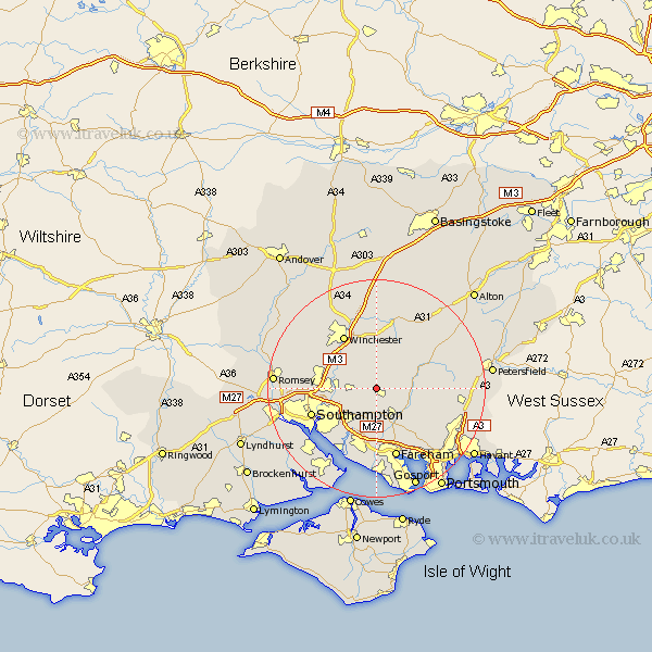
Hampshire Map Showing Location of Upham
Population: 616
District: Winchester
Easting: 453829 Northing: 118927
Latitude: 50.97 Longitude: -1.23
 = Upham
District: Winchester
Easting: 453829 Northing: 118927
Latitude: 50.97 Longitude: -1.23
= Upham
This Upham map below is supplied by Google. Use the tools in the top left corner to zoom into street level or zoom out for a road map, you may also need to zoom in to see Upham on the map. Click and drag the map to move around. If the map fails to load try and refresh your browser or zoom in or out (+ or -).
Update - it seems Google no longer allow people to use their maps for free! This Upham map sometimes loads and sometimes gives a error. I am working on a solution.
Closest 30 Towns or Cities to Upham (Population over 500)
Durley 2.19km Bishop's Waltham 2.19km Bishops Waltham 2.19km Owslebury 4.38km Curbridge 5.69km Curdridge 5.69km Swanmore 5.97km Botley 6.03km Waltham Chase 6.03km Shedfield 6.57km Shidfield 6.57km Bishopstoke 7km Corhampton 7km Droxford 7.25km Soberton 7.93km Twyford 8.06km Eastleigh 8.17km Wickham 8.77km Compton 8.94km West End 8.94km Otterbourne 8.97km Cheriton 10.37km Bramdean 11.02km Winchester 11.58km West Meon 11.88km Bursledon 12.06km Southampton 12.78km Locks Heath 12.86km Itchen 12.86km Ashurst 12.88km