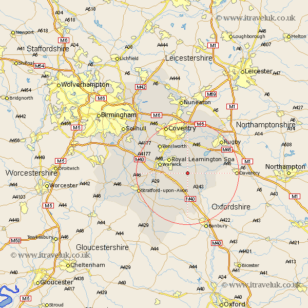
Warwickshire Map Showing Location of Ufton
Population: 239
District: Stratford-on-Avon
Easting: 438681 Northing: 261508
Latitude: 52.25 Longitude: -1.43
 = Ufton
District: Stratford-on-Avon
Easting: 438681 Northing: 261508
Latitude: 52.25 Longitude: -1.43
= Ufton
This Ufton map below is supplied by Google. Use the tools in the top left corner to zoom into street level or zoom out for a road map, you may also need to zoom in to see Ufton on the map. Click and drag the map to move around. If the map fails to load try and refresh your browser or zoom in or out (+ or -).
Update - it seems Google no longer allow people to use their maps for free! This Ufton map sometimes loads and sometimes gives a error. I am working on a solution.
Closest 30 Towns or Cities to Ufton (Population over 500)
Harbury 2.18km Southam 3.4km Long Itchington 3.88km Bishops Itchington 5.56km Whitnash 5.67km Stockton 5.97km Bishops Tachbrook 7.06km Napton 8.16km Napton on the Hill 8.16km Napton-on-the-Hill 8.16km Lighthorne 8.7km Royal Leamington Spa 8.79km Leamington 8.79km Leamington Spa 8.79km Bubbenhall 9.54km Warwick 10.86km Barford 11.5km Fenny Compton 11.63km Priors Marston 11.63km Kineton 12.01km Stoneleigh 12.48km Wellesbourne Hastings 12.63km Wellesbourne 12.63km Brandon 13.17km Wolston 13.41km Baginton 13.41km Dunchurch 13.78km Kenilworth 15.09km Hatton 15.76km Long Lawford 15.83km