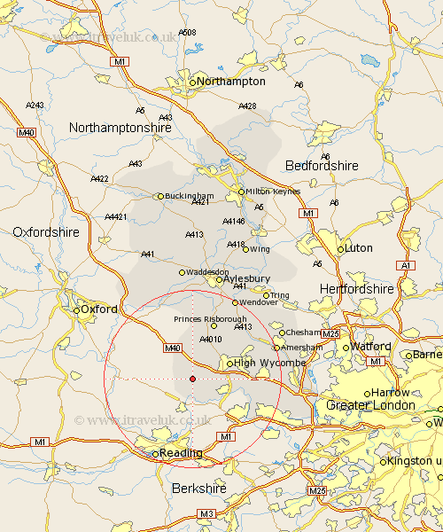
Buckinghamshire Map Showing Location of Turville
Population: 311
District: Wycombe
Easting: 477332 Northing: 189660
Latitude: 51.6 Longitude: -0.88
 = Turville
District: Wycombe
Easting: 477332 Northing: 189660
Latitude: 51.6 Longitude: -0.88
= Turville
This Turville map below is supplied by Google. Use the tools in the top left corner to zoom into street level or zoom out for a road map, you may also need to zoom in to see Turville on the map. Click and drag the map to move around. If the map fails to load try and refresh your browser or zoom in or out (+ or -).
Update - it seems Google no longer allow people to use their maps for free! This Turville map sometimes loads and sometimes gives a error. I am working on a solution.
Closest 30 Towns or Cities to Turville (Population over 500)
Lane End 2.18km Hambleden 3.88km Stokenchurch 5.68km Medmenham 6.02km West Wycombe 6.84km Bradenham 8km Chepping 8.87km High Wycombe 8.87km Wycombe 8.87km Marlow 8.87km Great Marlow 8.87km Radnage 9.33km Little Marlow 10.53km Hughenden 11.75km Flackwell Heath 12.66km Bledlow 13.03km Bourne End 13.2km Princes Risborough 13.77km Hazlemere 13.82km Penn 13.94km Wooburn 14.31km Longwick 15km Prestwood 15.19km Kimble 15.9km Great Kimble 15.9km Taplow 16.64km Little Missenden 16.69km Great Missenden 16.84km Beaconsfield 17.27km Ellesborough 18.05km