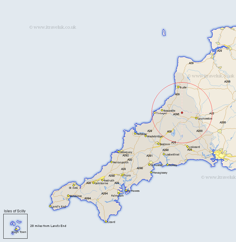
Cornwall Map Showing Location of Tremaine
Population: 87
District: North Cornwall
Easting: 223350 Northing: 88271
Latitude: 50.67 Longitude: -4.5
 = Tremaine
District: North Cornwall
Easting: 223350 Northing: 88271
Latitude: 50.67 Longitude: -4.5
= Tremaine
This Tremaine map below is supplied by Google. Use the tools in the top left corner to zoom into street level or zoom out for a road map, you may also need to zoom in to see Tremaine on the map. Click and drag the map to move around. If the map fails to load try and refresh your browser or zoom in or out (+ or -).
Update - it seems Google no longer allow people to use their maps for free! This Tremaine map sometimes loads and sometimes gives a error. I am working on a solution.
Closest 30 Towns or Cities to Tremaine (Population over 500)
North Petherwin 5.05km Altarnun 7.78km Lewannick 8.78km South Petherwin 9.93km Launceston 10.11km Poundstock 11.66km Pounstock 11.66km North Hill 13.8km Lezant 14.07km Camelford 14.07km Markhamchurch 14.87km Marhamchurch 14.87km Forrabury 15.38km Linkinhorne 17.57km Tintagel 17.62km Bude 18.67km Blisland 21.11km Cardinham 22.98km Cardingham 22.98km Callington 23.3km Kilkhampton 24.11km Dobwalls 24.12km Liskeard 24.35km Morwenstow 26.18km Moorwinstow 26.18km Menheniot 26.61km Bodmin 27km Wadebridge 28.84km Calstock 29.4km Bere Alston 29.4km