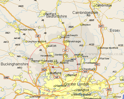
Hertfordshire Map Showing Location of Bricket Wood
District: St Albans
Easting: 513972 Northing: 203332
Latitude: 51.72 Longitude: -0.35
 = Bricket Wood
Easting: 513972 Northing: 203332
Latitude: 51.72 Longitude: -0.35
= Bricket Wood
This Bricket Wood map below is supplied by Google. Use the tools in the top left corner to zoom into street level or zoom out for a road map, you may also need to zoom in to see Bricket Wood on the map. Click and drag the map to move around. If the map fails to load try and refresh your browser or zoom in or out (+ or -).
Update - it seems Google no longer allow people to use their maps for free! This Bricket Wood map sometimes loads and sometimes gives a error. I am working on a solution.
Closest 30 Towns or Cities to Bricket Wood (Population over 500)
Saint Albans 3.88km St Albans 3.88km St. Albans 3.88km Radlett 4.36km London Olney 4.59km London Colney 4.59km Abbots Langley 4.95km Aldenham 5.56km Watford 6.54km Sandridge 6.54km Shenley 6.84km North Mymms 6.89km Colney Heath 7.13km Kings Langley 7.14km Redbourn 7.76km Hemel Hempstead 8.85km Harpenden 9.27km Bushey 9.27km Chipperfield 9.37km Borehamwood 9.38km Sarratt 9.91km Hatfield 10.15km Wheathampstead 10.34km Elstree 10.35km Croxley Green 11.55km Brookmans Park 11.63km Chorleywood 11.81km Rickmansworth 12.27km Flamstead 12.51km Bovingdon 12.63km