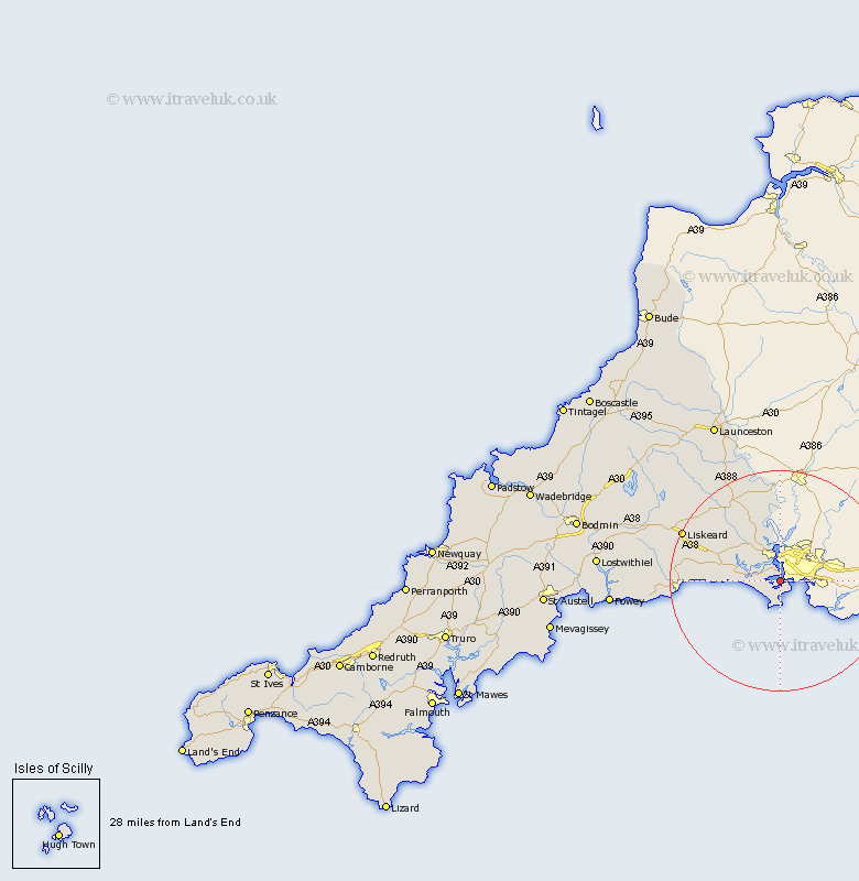
Cornwall Map Showing Location of Torpoint
Population: 7897
Area Size (ha): 226
District: Caradon
Easting: 243557 Northing: 54248
Latitude: 50.37 Longitude: -4.2
 = Torpoint
Area Size (ha): 226
District: Caradon
Easting: 243557 Northing: 54248
Latitude: 50.37 Longitude: -4.2
= Torpoint
This Torpoint map below is supplied by Google. Use the tools in the top left corner to zoom into street level or zoom out for a road map, you may also need to zoom in to see Torpoint on the map. Click and drag the map to move around. If the map fails to load try and refresh your browser or zoom in or out (+ or -).
Update - it seems Google no longer allow people to use their maps for free! This Torpoint map sometimes loads and sometimes gives a error. I am working on a solution.
Closest 30 Towns or Cities to Torpoint (Population over 500)
Millbrook 1.18km Saltash 5.68km Sherviock 5.91km Sheviock 5.91km Calstock 12.96km Bere Alston 12.96km Callington 16.43km Menheniot 17.05km Morval 17.82km West Looe 17.89km Looe 17.89km Liskeard 19.99km Duloe 20.18km Linkinhorne 21.96km Pelynt 23.64km Dobwalls 24.28km Lansallos 26.01km Lanreath 26.07km North Hill 26.23km Lezant 26.32km Lanteglos 29.8km South Petherwin 30.67km Lewannick 30.75km Fowey 30.97km Launceston 31.9km Lostwithiel 33.3km Tywardreath 34.34km Cardingham 34.41km Cardinham 34.41km Altarnun 35.06km