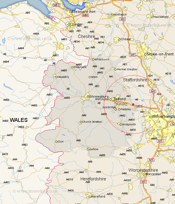
Shropshire Map Showing Location of Tong
Population: 208
District: Bridgnorth
Easting: 379714 Northing: 307745
Latitude: 52.67 Longitude: -2.3
 = Tong
District: Bridgnorth
Easting: 379714 Northing: 307745
Latitude: 52.67 Longitude: -2.3
= Tong
This Tong map below is supplied by Google. Use the tools in the top left corner to zoom into street level or zoom out for a road map, you may also need to zoom in to see Tong on the map. Click and drag the map to move around. If the map fails to load try and refresh your browser or zoom in or out (+ or -).
Update - it seems Google no longer allow people to use their maps for free! This Tong map sometimes loads and sometimes gives a error. I am working on a solution.
Closest 30 Towns or Cities to Tong (Population over 500)
Albrighton 4.34km Shifnal 4.5km Woodcote 7.74km Oakengates 9.72km Madeley 9.73km Lilleshall 10.01km Downington 10.57km Donnington 10.57km Dawley 11.24km Ironbridge 11.84km Telford 11.9km Trench 12.53km Ketley 12.9km Hadley 12.9km Barrow Bridge 13.47km Barrow 13.47km Broseley 13.56km Edgmond 13.62km Worfield 13.74km Newport 14.13km Chetwynd 14.61km Claverley 14.83km Wellington 15.07km Bridgnorth 16.8km Cherrington 17.47km Wrockwardine 18.35km Much Wenlock 18.43km Hinstock 21.1km Cressage 21.68km Ercall Magna 22.23km