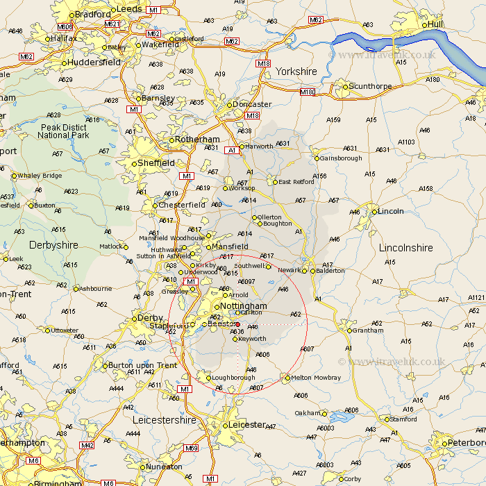
Nottinghamshire Map Showing Location of Tollerton
Population: 1723
District: Rushcliffe
Easting: 461629 Northing: 335904
Latitude: 52.92 Longitude: -1.08
 = Tollerton
District: Rushcliffe
Easting: 461629 Northing: 335904
Latitude: 52.92 Longitude: -1.08
= Tollerton
This Tollerton map below is supplied by Google. Use the tools in the top left corner to zoom into street level or zoom out for a road map, you may also need to zoom in to see Tollerton on the map. Click and drag the map to move around. If the map fails to load try and refresh your browser or zoom in or out (+ or -).
Update - it seems Google no longer allow people to use their maps for free! This Tollerton map sometimes loads and sometimes gives a error. I am working on a solution.
Closest 30 Towns or Cities to Tollerton (Population over 500)
West Bridgford 2.23km West Bridgeford 2.23km Colwick 3.7km Carlton 3.7km Radcliffe-on-Trent 3.83km Radcliffe 3.83km Radcliffe on Trent 3.83km Cotgrave 3.83km Ruddington 5.81km Cropwell Butler 6.7km Cropwell 6.7km Cropwell Bishop 6.96km Shelford 7.13km Lambley 7.49km Nottigham 7.88km Nottingham 7.88km Burton Joyce 8.13km Bunny 8.14km Beeston 8.94km Bingham 9.13km Arnold 9.85km Kinoulton 10km East Bridgford 10.52km Gotham 10.78km Woodborough 11.18km Costock 11.62km Stapleford 12.29km Barnstone 12.43km East Leake 12.45km Claverton 12.97km