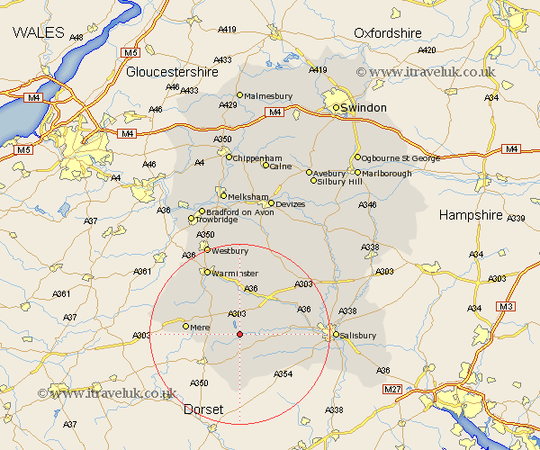
Wiltshire Map Showing Location of Tisbury
Population: 1866
Area Size (ha): 56
District: Salisbury
Easting: 394161 Northing: 129770
Latitude: 51.07 Longitude: -2.08
 = Tisbury
Area Size (ha): 56
District: Salisbury
Easting: 394161 Northing: 129770
Latitude: 51.07 Longitude: -2.08
= Tisbury
This Tisbury map below is supplied by Google. Use the tools in the top left corner to zoom into street level or zoom out for a road map, you may also need to zoom in to see Tisbury on the map. Click and drag the map to move around. If the map fails to load try and refresh your browser or zoom in or out (+ or -).
Update - it seems Google no longer allow people to use their maps for free! This Tisbury map sometimes loads and sometimes gives a error. I am working on a solution.
Closest 30 Towns or Cities to Tisbury (Population over 500)
Hindon 5.09km East Knoyle 5.82km Bishop's Knoyle 5.82km Semley 5.96km Fovant 6.11km Dinton 7.23km Codford 9.55km Mere 11.79km Broad Chalke 11.87km Longford 12.83km Steeple Langford 12.83km Heytesbury 13.17km Longbridge Deverill 13.78km Bishopstone 13.97km Wilton 15.25km South Newton 15.58km Warminster 16.38km Zeals 16.71km Zeal 16.71km Combebissett 16.73km Coombe Bissett 16.73km Shrewton 18.22km Dilton 20.23km Corsley 20.33km Salisbury 20.96km New Sarum 20.96km West Lavington 21.19km Odstock 21.3km Westbury 21.54km Edington 22.27km