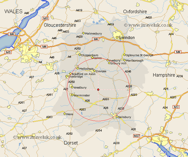
Wiltshire Map Showing Location of Tilshead
Population: 359
District: Salisbury
Easting: 403490 Northing: 148293
Latitude: 51.23 Longitude: -1.95
 = Tilshead
District: Salisbury
Easting: 403490 Northing: 148293
Latitude: 51.23 Longitude: -1.95
= Tilshead
This Tilshead map below is supplied by Google. Use the tools in the top left corner to zoom into street level or zoom out for a road map, you may also need to zoom in to see Tilshead on the map. Click and drag the map to move around. If the map fails to load try and refresh your browser or zoom in or out (+ or -).
Update - it seems Google no longer allow people to use their maps for free! This Tilshead map sometimes loads and sometimes gives a error. I am working on a solution.
Closest 30 Towns or Cities to Tilshead (Population over 500)
West Lavington 3.94km Market Lavington 6.02km Lavington 6.02km Shrewton 6.56km Urchfont 7.51km Erlestoke 9.84km Potterne 10.37km Enford 10.61km Upavon 10.82km Lark Hill 10.82km Edington 11.08km Steeple Langford 11.18km Longford 11.18km Codford 11.59km Netheravon 11.6km Figheldean 11.75km Bratton 12.18km Worton 12.32km Heytesbury 12.87km Devizes 13.18km Bulford 13.29km Amesbury 13.77km Durrington 13.93km Rowde 14.21km Steeple Ashton 14.75km Bishops Cannings 14.83km Roundway 15.01km South Newton 15.92km Seend 15.95km Westbury 16.35km