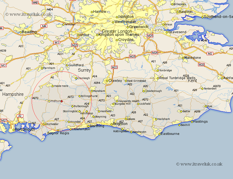
Sussex Map Showing Location of Tillington
Population: 501
District: Chichester
Easting: 497091 Northing: 121403
Latitude: 50.98 Longitude: -0.62
 = Tillington
District: Chichester
Easting: 497091 Northing: 121403
Latitude: 50.98 Longitude: -0.62
= Tillington
This Tillington map below is supplied by Google. Use the tools in the top left corner to zoom into street level or zoom out for a road map, you may also need to zoom in to see Tillington on the map. Click and drag the map to move around. If the map fails to load try and refresh your browser or zoom in or out (+ or -).
Update - it seems Google no longer allow people to use their maps for free! This Tillington map sometimes loads and sometimes gives a error. I am working on a solution.
Closest 30 Towns or Cities to Tillington (Population over 500)
Petworth 1.17km Fittleworth 5.1km Lurgashall 5.1km Kirdford 5.96km Graffham 7.26km North Chapel 7.51km Northchapel 7.51km Pulborough 7.92km Coldwaltham 8.06km Midhurst 8.17km Plaistow 8.2km Fernhurst 8.94km Wisborough Green 8.97km Amberley 9.43km Bury 9.9km Loxwood 11.62km Iping 11.67km Linchmere 11.92km Billingshurst 12.24km West Chillington 12.93km West Chiltington 12.93km Storrington 13.75km Walberton 14.82km Slindon 14.87km Thakeham 15.07km Rogate 15.28km Arundel 15.54km Boxgrove 16.4km Tangmere 16.4km Eastergate 16.84km