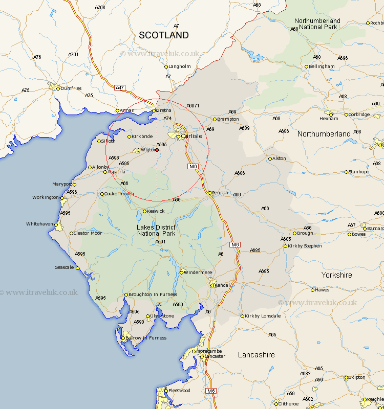
Cumbria Map Showing Location of Thursby
Population: 1185
District: Allerdale
Easting: 332562 Northing: 549234
Latitude: 54.83 Longitude: -3.05
 = Thursby
District: Allerdale
Easting: 332562 Northing: 549234
Latitude: 54.83 Longitude: -3.05
= Thursby
This Thursby map below is supplied by Google. Use the tools in the top left corner to zoom into street level or zoom out for a road map, you may also need to zoom in to see Thursby on the map. Click and drag the map to move around. If the map fails to load try and refresh your browser or zoom in or out (+ or -).
Update - it seems Google no longer allow people to use their maps for free! This Thursby map sometimes loads and sometimes gives a error. I am working on a solution.
Closest 30 Towns or Cities to Thursby (Population over 500)
Thursby 0km Dalston 4.27km Wigton 6.4km Westward 7.71km Burgh 9.27km Burgh by Sands 9.27km Burgh-by-Sands 9.27km Carlisle 9.31km Stanwix 10.52km Kirkbride 11.09km Caldbeck 11.12km Hesket Newmarket 11.32km Rockcliffe 11.91km Rockcliff 11.91km Bromfield 14.37km Wetheral 15.39km Bowness on Solway 16.79km Bowness-on-Solway 16.79km Skelton 18.92km Longtown 19.29km Aspatria 20.39km Hayton 20.58km Silloth 20.61km Ainstable 20.62km Irthington 21.26km Greystoke 23.54km Kirkoswald 23.62km Brampton 24.05km Lazonby 25.05km Lasonby 25.05km