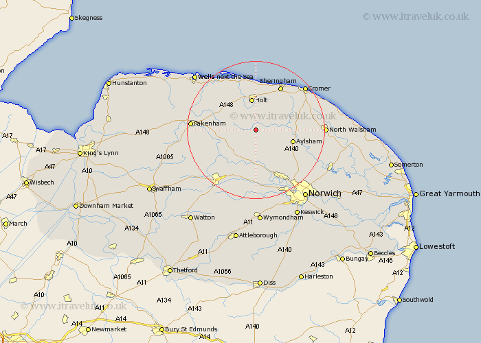
Norfolk Map Showing Location of Thurning
Population: 43
District: Broadland
Easting: 608874 Northing: 328891
Latitude: 52.82 Longitude: 1.1
 = Thurning
District: Broadland
Easting: 608874 Northing: 328891
Latitude: 52.82 Longitude: 1.1
= Thurning
This Thurning map below is supplied by Google. Use the tools in the top left corner to zoom into street level or zoom out for a road map, you may also need to zoom in to see Thurning on the map. Click and drag the map to move around. If the map fails to load try and refresh your browser or zoom in or out (+ or -).
Update - it seems Google no longer allow people to use their maps for free! This Thurning map sometimes loads and sometimes gives a error. I am working on a solution.
Closest 30 Towns or Cities to Thurning (Population over 500)
Corpusty 2.24km Briston 4.33km Hindolveston 5.6km Mellon Constable 5.81km Melton Constable 5.81km Foulsham 6.72km Foulham 6.72km Cawston 7.14km Reepham 7.5km Holt 9.33km Witchingham 9.34km Erpingham 10.25km Bawdeswell 10.3km Aylsham 10.75km Lyng 11.34km Marsham 11.52km Great Ryburgh 12.32km Ryburgh 12.32km Weybourne 13.39km Hevingham 13.44km North Elmham 13.7km Little Snoring 13.94km Sheringham 14.6km Roughton 15.34km Felmingham 15.79km Walsingham 16.33km Little Walsingham 16.33km West Runton 16.41km Runton 16.41km Beetley 16.61km