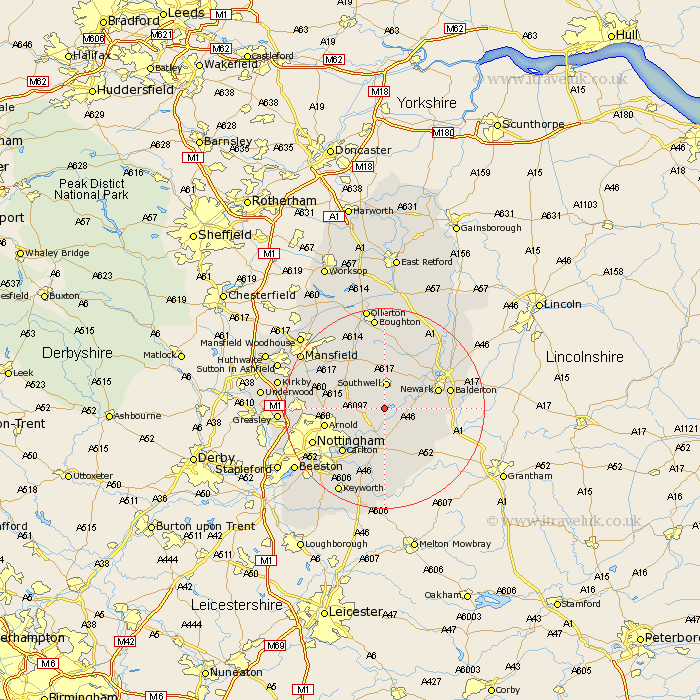
Nottinghamshire Map Showing Location of Thurgarton
Population: 412
District: Newark and Sherwood
Easting: 469286 Northing: 348979
Latitude: 53.03 Longitude: -0.97
 = Thurgarton
District: Newark and Sherwood
Easting: 469286 Northing: 348979
Latitude: 53.03 Longitude: -0.97
= Thurgarton
This Thurgarton map below is supplied by Google. Use the tools in the top left corner to zoom into street level or zoom out for a road map, you may also need to zoom in to see Thurgarton on the map. Click and drag the map to move around. If the map fails to load try and refresh your browser or zoom in or out (+ or -).
Update - it seems Google no longer allow people to use their maps for free! This Thurgarton map sometimes loads and sometimes gives a error. I am working on a solution.
Closest 30 Towns or Cities to Thurgarton (Population over 500)
Bleasby 2.23km Fiskerton Ferry 4.83km Fiskerton 4.83km Southwell 5.18km Elston 6.94km Woodborough 6.94km Oxton 6.94km Burton Joyce 7.12km Flintham 7.13km East Bridgford 7.49km Claverton 7.8km Calverton 7.8km Farndon 8.02km Shelford 8.13km Farnsfield 8.65km Lambley 8.7km Newark 10.69km Newark upon Trent 10.69km Newark-on-Trent 10.69km Newark on Trent 10.69km Bingham 11.17km Arnold 11.75km Bilsthorpe 11.98km Radcliffe on Trent 11.98km Radcliffe 11.98km Radcliffe-on-Trent 11.98km Carlton 12.12km Colwick 12.12km Aslocton 12.44km Aslockton 12.44km