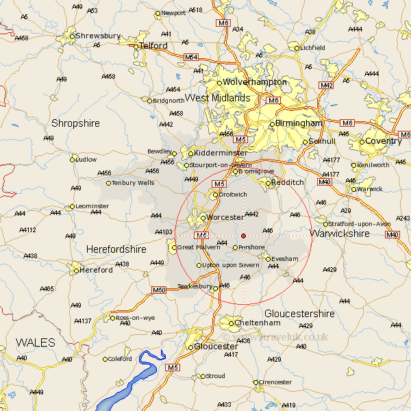
Worcestershire Map Showing Location of Throckmorton
Population: 200
District: Wychavon
Easting: 397719 Northing: 250236
Latitude: 52.15 Longitude: -2.03
 = Throckmorton
District: Wychavon
Easting: 397719 Northing: 250236
Latitude: 52.15 Longitude: -2.03
= Throckmorton
This Throckmorton map below is supplied by Google. Use the tools in the top left corner to zoom into street level or zoom out for a road map, you may also need to zoom in to see Throckmorton on the map. Click and drag the map to move around. If the map fails to load try and refresh your browser or zoom in or out (+ or -).
Update - it seems Google no longer allow people to use their maps for free! This Throckmorton map sometimes loads and sometimes gives a error. I am working on a solution.
Closest 30 Towns or Cities to Throckmorton (Population over 500)
Bishampton 2.18km Fladbury 3.87km Pershore 4.35km Peopleton 4.55km Church Lench 5.69km Charlton 6.52km Inkberrow 7.18km Cropthorne 7.76km Crowle 7.95km Harvington 8.18km Wadborough 8.78km Defford 9.35km Offenham 9.71km Evesham 10.08km Eckington 10.87km Kempsey 11.52km Cleeve Prior 11.52km Feckenham 11.63km Littleton 11.65km South Littleton 11.65km Badsey 12.65km Worcester 12.65km Hanbury 13.03km Astwood Bank 13.04km Ashton-under-Hill 13.17km Ashton under Hill 13.17km Severn Stoke 13.69km Seven Stoke 13.69km Sedgeberrow 13.75km Bredon 14.17km