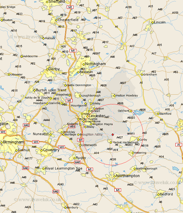
Leicestershire Map Showing Location of Thorpe Langton
Population: 171
District: Harborough
Easting: 474634 Northing: 291588
Latitude: 52.52 Longitude: -0.9
 = Thorpe Langton
District: Harborough
Easting: 474634 Northing: 291588
Latitude: 52.52 Longitude: -0.9
= Thorpe Langton
This Thorpe Langton map below is supplied by Google. Use the tools in the top left corner to zoom into street level or zoom out for a road map, you may also need to zoom in to see Thorpe Langton on the map. Click and drag the map to move around. If the map fails to load try and refresh your browser or zoom in or out (+ or -).
Update - it seems Google no longer allow people to use their maps for free! This Thorpe Langton map sometimes loads and sometimes gives a error. I am working on a solution.
Closest 30 Towns or Cities to Thorpe Langton (Population over 500)
Great Bowden 3.71km Bowden 3.71km Market Harborough 5.67km Hallaton 5.84km Kibworth Harcourt 5.93km Kibworth 5.93km Lubenham 6.51km Billesdon 9.53km Great Easton 10.15km Great Glen 10.59km Houghton on the Hill 12.46km Houghton 12.46km Houghton-on-the-Hill 12.46km Husbands Bosworth 12.58km Oadby 14.44km Wigston 15.42km Wigston Magna 15.42km Glen Parva 15.67km Glen Parka 15.67km Walton-in-Knaptoft 15.69km Walton 15.69km Countesthorpe 16.21km Twyford 16.72km Somerby 17.28km Blaby 17.8km Gilmorton 17.82km Gilmarton 17.82km Cosby 19.52km Whetstone 19.95km Braunstone 20.27km