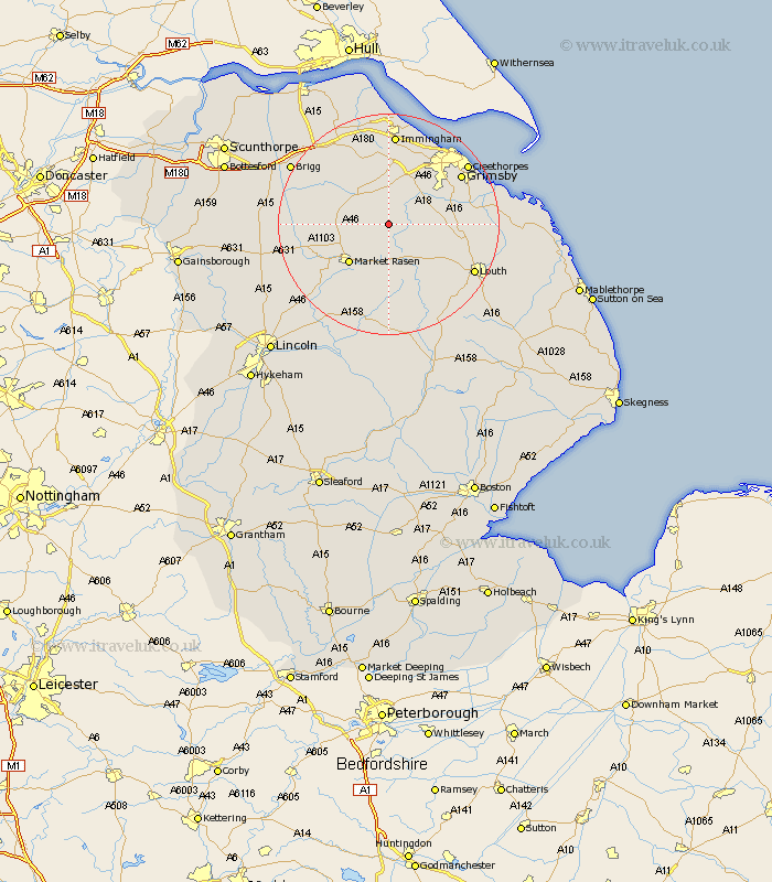
Lincolnshire Map Showing Location of Thoresway
Population: 101
District: West Lindsey
Easting: 517308 Northing: 396285
Latitude: 53.45 Longitude: -0.23
 = Thoresway
District: West Lindsey
Easting: 517308 Northing: 396285
Latitude: 53.45 Longitude: -0.23
= Thoresway
This Thoresway map below is supplied by Google. Use the tools in the top left corner to zoom into street level or zoom out for a road map, you may also need to zoom in to see Thoresway on the map. Click and drag the map to move around. If the map fails to load try and refresh your browser or zoom in or out (+ or -).
Update - it seems Google no longer allow people to use their maps for free! This Thoresway map sometimes loads and sometimes gives a error. I am working on a solution.
Closest 30 Towns or Cities to Thoresway (Population over 500)
binbrook 3.8km Nettleton 6.64km Caistor 6.64km Market Rasen 9.95km Laceby 10.26km Waltham 11.53km Middle Rasen 11.54km North Thoresby 12.28km North Kelsey 12.69km South Killingholme 12.98km Keelby 13.02km Holton le Clay 13.29km South Kelsey 13.37km Healing 13.71km Fulstow 14.35km Tetney 14.81km Stallingborough 15.19km Grimsby 15.26km Great Grimsby 15.26km Humberston 16.15km Humberstone 16.15km Great Coates 16.33km Habrough 16.72km Immingham 16.72km Barnetby 17.02km Barnetby le Wold 17.02km Louth 17.09km Cleethorpes 17.28km North Coates 17.75km Holton 17.95km