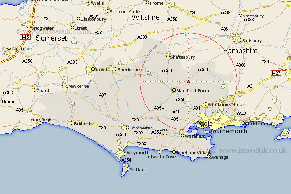
Dorset Map Showing Location of Tarrant Hinton
Population: 195
District: North Dorset
Easting: 394140 Northing: 111234
Latitude: 50.9 Longitude: -2.08
 = Tarrant Hinton
District: North Dorset
Easting: 394140 Northing: 111234
Latitude: 50.9 Longitude: -2.08
= Tarrant Hinton
This Tarrant Hinton map below is supplied by Google. Use the tools in the top left corner to zoom into street level or zoom out for a road map, you may also need to zoom in to see Tarrant Hinton on the map. Click and drag the map to move around. If the map fails to load try and refresh your browser or zoom in or out (+ or -).
Update - it seems Google no longer allow people to use their maps for free! This Tarrant Hinton map sometimes loads and sometimes gives a error. I am working on a solution.
Closest 30 Towns or Cities to Tarrant Hinton (Population over 500)
Tarrant Monkton 3.7km Pimperne 3.97km Blandford 6.92km Blandford Forum 6.92km Iwerne Minster 7.93km Handley 8.06km Stourpaine 8.39km Fontmell Magna 8.95km Spetisbury 9.55km Charlton 9.9km Child Okeford 10.68km Horton 10.88km Cranborne 11.69km Shillingstone 11.69km Wimborne Minster 12.22km Wimborne 12.22km Winterborne Stickland 12.88km Stickland Winterborne 12.88km Sturminster Marshall 13.03km Corfe Mullen 13.44km Shaftesbury 13.8km Sturminster Newton 14.14km Whitechurch 15.31km Verwood 15.64km West Moors 15.86km Motcombe 15.99km Lytchett Matravers 16.72km Stour Provost 16.8km Winterborne Kingston 16.94km Alderholt 17.63km