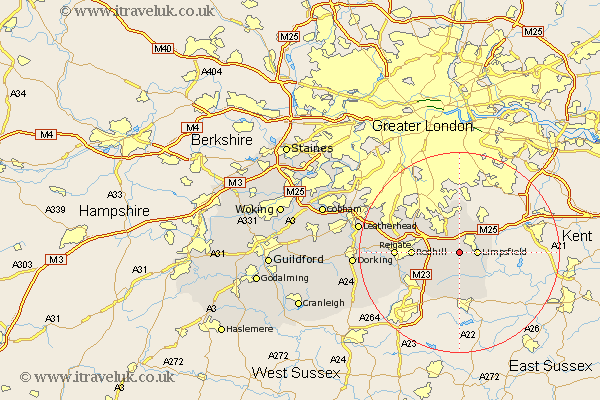
Surrey Map Showing Location of Tandridge
Population: 686
District: Tandridge
Easting: 537288 Northing: 150129
Latitude: 51.23 Longitude: -0.03
 = Tandridge
District: Tandridge
Easting: 537288 Northing: 150129
Latitude: 51.23 Longitude: -0.03
= Tandridge
This Tandridge map below is supplied by Google. Use the tools in the top left corner to zoom into street level or zoom out for a road map, you may also need to zoom in to see Tandridge on the map. Click and drag the map to move around. If the map fails to load try and refresh your browser or zoom in or out (+ or -).
Update - it seems Google no longer allow people to use their maps for free! This Tandridge map sometimes loads and sometimes gives a error. I am working on a solution.
Closest 30 Towns or Cities to Tandridge (Population over 500)
Oxted 1.16km Godstone 2.32km Limpsfield 3.48km Bletchingley 4.64km Caterham 5.09km Woldingham 5.56km Nutfield 6.09km Tatsfield 7.24km Lingfield 7.5km Warlingham 7.51km Horne 7.76km Farleigh 9.27km Farley 9.27km Redhill 9.28km Whyteleafe 9.9km Salfords 10km Horley 11.88km Burstow 12.05km Reigate 12.77km Felbridge 12.97km Banstead 13.12km Leigh 14.41km Tadworth 14.99km Buckland 15.09km Betchworth 15.09km Charlwood 15.78km Newdigate 19.73km Mickleham 19.81km Leatherhead 20.49km Holmwood 20.51km