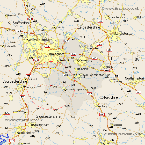
Warwickshire Map Showing Location of Alcester
Population: 6168
Area Size (ha): 160
District: Stratford-on-Avon
Easting: 409108 Northing: 257662
Latitude: 52.22 Longitude: -1.87
 = Alcester
Area Size (ha): 160
District: Stratford-on-Avon
Easting: 409108 Northing: 257662
Latitude: 52.22 Longitude: -1.87
= Alcester
This Alcester map below is supplied by Google. Use the tools in the top left corner to zoom into street level or zoom out for a road map, you may also need to zoom in to see Alcester on the map. Click and drag the map to move around. If the map fails to load try and refresh your browser or zoom in or out (+ or -).
Update - it seems Google no longer allow people to use their maps for free! This Alcester map sometimes loads and sometimes gives a error. I am working on a solution.
Closest 30 Towns or Cities to Alcester (Population over 500)
Great Alne 3.41km Aston Cantlow 4.9km Studley 5.67km Salford Priors 7.5km Wootton Wawen 7.75km Snitterfield 9.27km Bearley 9.27km Ullenhall 9.87km Henley in Arden 10.06km Stratford 11.95km Stratford upon Avon 11.95km Stratford-on-Avon 11.95km Stratford-upon-Avon 11.95km Stratford on Avon 11.95km Claverdon 12.64km Quinton 14.36km Lapworth 15.21km Rowington 15.88km Shrewley 16.46km Hatton 17.41km Barford 18.26km Ilmington 19.4km Wellesbourne Hastings 19.66km Wellesbourne 19.66km Eatington 20.41km Ettington 20.41km Knowle 20.62km Warwick 20.66km Temple Balsall 20.82km Bishops Tachbrook 22.78km