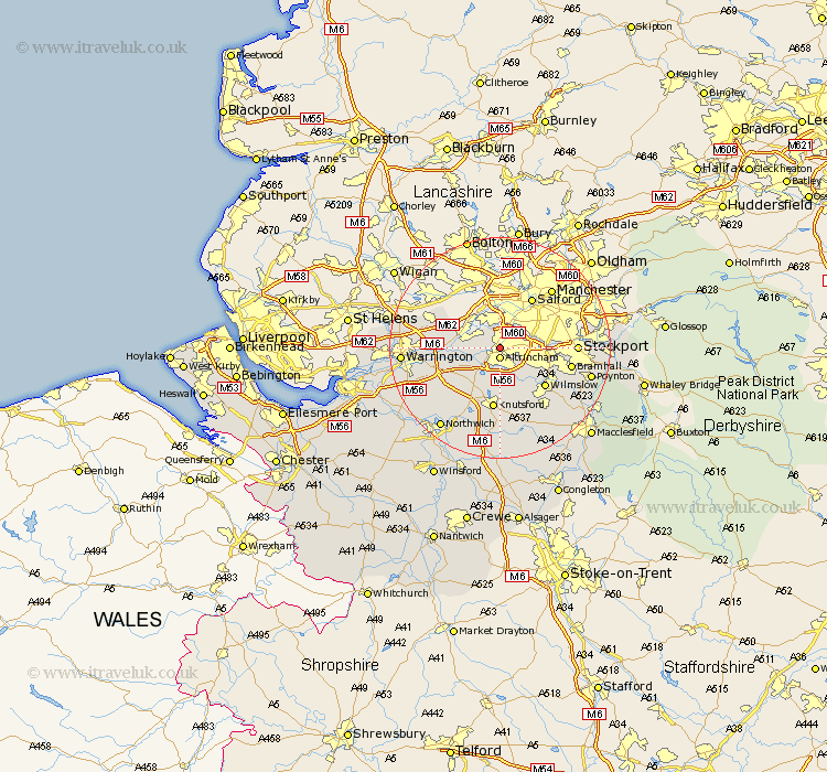
Cheshire Map Showing Location of Broadheath
District: Trafford
Easting: 376731 Northing: 389327
Latitude: 53.4 Longitude: -2.35
 = Broadheath
Easting: 376731 Northing: 389327
Latitude: 53.4 Longitude: -2.35
= Broadheath
This Broadheath map below is supplied by Google. Use the tools in the top left corner to zoom into street level or zoom out for a road map, you may also need to zoom in to see Broadheath on the map. Click and drag the map to move around. If the map fails to load try and refresh your browser or zoom in or out (+ or -).
Update - it seems Google no longer allow people to use their maps for free! This Broadheath map sometimes loads and sometimes gives a error. I am working on a solution.
Closest 30 Towns or Cities to Broadheath (Population over 500)
Altrincham 1.86km Sale 3.8km Bowdon 3.86km Partington 4.79km Lymm 6.65km Glazebrook 8.57km Mere 8.64km High Legh 8.65km Cheadle 8.84km Mobberley 9.52km Wilmslow 10.72km Stockton Heath 10.78km Knutsford 11.17km Risley 11.2km Thelwall 11.21km Culcheth 12.36km Bramhall 12.71km Stockport 13.26km Alderley Edge 13.55km Croft 13.76km Appleton 14.38km Alderley 15.11km Nether Alderley 15.11km Plumley Station 15.47km Plumbley 15.47km Bredbury 15.58km Hazel Grove 15.58km Chelford 15.82km Stretton 16.18km Poynton 16.45km