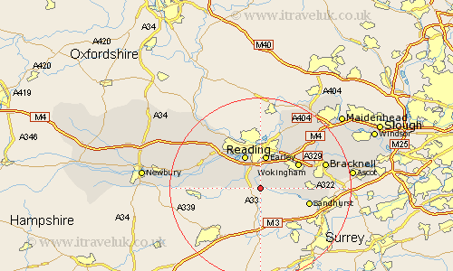
Berkshire Map Showing Location of Swallowfield
Population: 1961
Easting: 473087 Northing: 163649
Latitude: 51.37 Longitude: -0.95
 = Swallowfield
Easting: 473087 Northing: 163649
Latitude: 51.37 Longitude: -0.95
= Swallowfield
This Swallowfield map below is supplied by Google. Use the tools in the top left corner to zoom into street level or zoom out for a road map, you may also need to zoom in to see Swallowfield on the map. Click and drag the map to move around. If the map fails to load try and refresh your browser or zoom in or out (+ or -).
Update - it seems Google no longer allow people to use their maps for free! This Swallowfield map sometimes loads and sometimes gives a error. I am working on a solution.
Closest 30 Towns or Cities to Swallowfield (Population over 500)
Shinfield 3.7km Arborfield 4.37km Aberfield 4.37km Mortimer 4.63km Stratfield Mortimer 4.63km Barkham 4.98km Burghfield 6.87km Finchampstead 7.19km Earley 7.5km Winnersh 8.02km Reading 8.18km Crowthorne 9.26km Wokingham 9.82km Woodley 10.35km Tilehurst 10.92km Theale 10.97km Sandhurst 11.06km Sonning 11.65km Twyford 13.1km Binfield 13.73km Aldermaston 14km Wargrave 14.2km Wagrave 14.2km Bradfield 14.72km Beenham 14.95km Bracknell 14.95km Waltham St Lawrence 15.23km Waltham Saint Lawrence 15.23km Waltham St. Lawrence 15.23km Pangbourne 15.92km