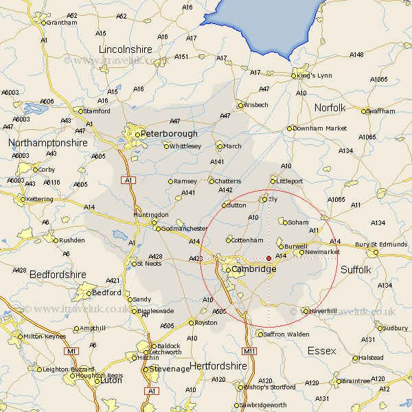
Cambridgeshire Map Showing Location of Swaffham Bulbeck
Population: 853
District: East Cambridgeshire
Easting: 555910 Northing: 261956
Latitude: 52.23 Longitude: 0.28
 = Swaffham Bulbeck
District: East Cambridgeshire
Easting: 555910 Northing: 261956
Latitude: 52.23 Longitude: 0.28
= Swaffham Bulbeck
This Swaffham Bulbeck map below is supplied by Google. Use the tools in the top left corner to zoom into street level or zoom out for a road map, you may also need to zoom in to see Swaffham Bulbeck on the map. Click and drag the map to move around. If the map fails to load try and refresh your browser or zoom in or out (+ or -).
Update - it seems Google no longer allow people to use their maps for free! This Swaffham Bulbeck map sometimes loads and sometimes gives a error. I am working on a solution.
Closest 30 Towns or Cities to Swaffham Bulbeck (Population over 500)
Bottisham 2.17km Swaffham Prior 2.18km Burwell 5.04km Wilbraham 6.01km Great Wilbraham 6.01km Dullingham 6.78km Waterbeach 7.06km Fulbourne 7.18km Fulbourn 7.18km Wicken 7.5km Teversham 7.75km Stetchworth 8.77km Milton 9.08km Fordham 10.86km Balsham 11.35km Cambridge 11.94km Soham 12.01km Chippenham 12.62km Histon 12.62km Cheveley 12.62km Cottenham 12.63km Girton 13.62km Ashley 13.75km Isleham 14.35km Linton 14.87km Shelford 15.11km Wilburton 15.21km Oakington 15.21km Sawston 15.21km Coton 15.22km