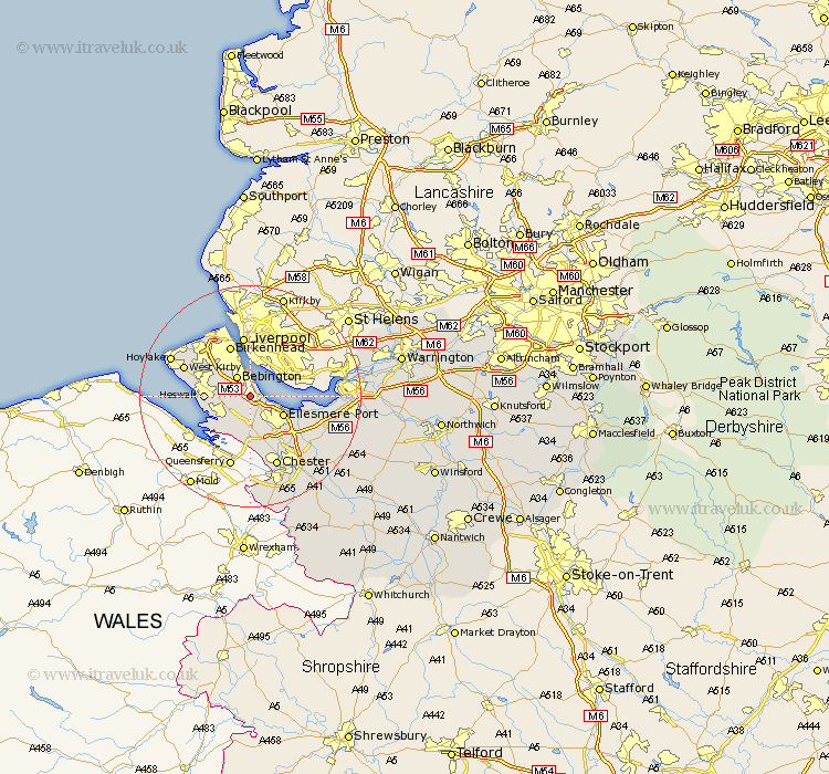
Cheshire Map Showing Location of Bromborough
District: Wirral
Easting: 334499 Northing: 380455
Latitude: 53.32 Longitude: -2.98
 = Bromborough
Easting: 334499 Northing: 380455
Latitude: 53.32 Longitude: -2.98
= Bromborough
This Bromborough map below is supplied by Google. Use the tools in the top left corner to zoom into street level or zoom out for a road map, you may also need to zoom in to see Bromborough on the map. Click and drag the map to move around. If the map fails to load try and refresh your browser or zoom in or out (+ or -).
Update - it seems Google no longer allow people to use their maps for free! This Bromborough map sometimes loads and sometimes gives a error. I am working on a solution.
Closest 30 Towns or Cities to Bromborough (Population over 500)
Willaston 3.88km Bebington 4.31km Bebington and Bromborough 4.31km Neston 5.78km Ellesmere Port 6.67km Heswall 7.75km Birkenhead 9.84km Mollington 10.28km Great Saughall 11.34km Saughall 11.34km Hale 12.31km Greasby 12.34km Kirby 12.38km West Kirby 12.38km Moreton 12.81km Elton 13.33km Chester 13.71km Wallasey 14.09km Dunham-on-the-Hill 14.27km Dunham 14.27km Dunham on the Hill 14.27km Hoylake 15.2km Helsby 15.44km Runcorn 15.61km Mickle Trafford 15.7km Weston 16.61km Frodsham 16.71km Widnes 17.01km Great Barrow 17.81km Barrow 17.81km