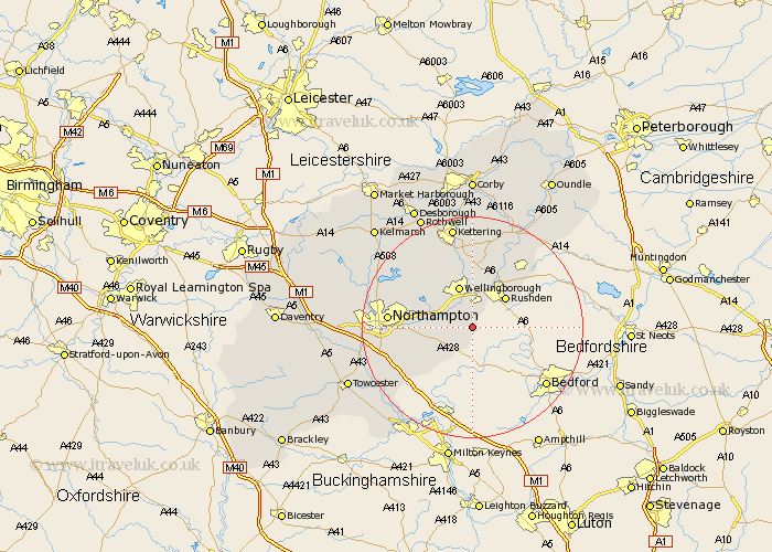
Northamptonshire Map Showing Location of Strixton
Population: 32
District: Wellingborough
Easting: 491046 Northing: 260337
Latitude: 52.23 Longitude: -0.67
 = Strixton
District: Wellingborough
Easting: 491046 Northing: 260337
Latitude: 52.23 Longitude: -0.67
= Strixton
This Strixton map below is supplied by Google. Use the tools in the top left corner to zoom into street level or zoom out for a road map, you may also need to zoom in to see Strixton on the map. Click and drag the map to move around. If the map fails to load try and refresh your browser or zoom in or out (+ or -).
Update - it seems Google no longer allow people to use their maps for free! This Strixton map sometimes loads and sometimes gives a error. I am working on a solution.
Closest 30 Towns or Cities to Strixton (Population over 500)
Bozeat 1.85km Wollaston 1.86km Irchester 4.35km Doddington 4.35km Great Doddington 4.35km Wilby 5.04km Whiston 5.67km Yardley Hastings 5.86km Earls Barton 5.97km Denton 7.75km Wellingborough 7.76km Rushden 7.94km Higham Ferrers 9.34km Sywell 9.69km Irthlingborough 10.32km Great Billing 10.38km Billing 10.38km Finedon 11.35km Houghton 11.5km Great Houghton 11.5km Overstone 11.63km Hackleton 11.63km Stanwick 12.21km Burton Latimer 12.98km Isham 13.17km Moulton 13.66km Raunds 14.35km Northampton 14.87km Walgrave 15.09km Ringstead 15.21km