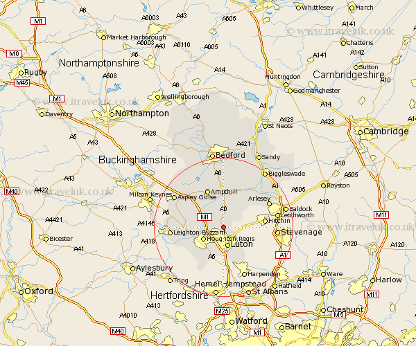
Bedfordshire Map Showing Location of Streatley
Population: 1707
District: South Bedfordshire
Easting: 507698 Northing: 227295
Latitude: 51.93 Longitude: -0.43
 = Streatley
District: South Bedfordshire
Easting: 507698 Northing: 227295
Latitude: 51.93 Longitude: -0.43
= Streatley
This Streatley map below is supplied by Google. Use the tools in the top left corner to zoom into street level or zoom out for a road map, you may also need to zoom in to see Streatley on the map. Click and drag the map to move around. If the map fails to load try and refresh your browser or zoom in or out (+ or -).
Update - it seems Google no longer allow people to use their maps for free! This Streatley map sometimes loads and sometimes gives a error. I am working on a solution.
Closest 30 Towns or Cities to Streatley (Population over 500)
Barton in the Clay 2.18km Barton 2.18km Sundon 2.94km Westoning 5.05km Pulloxhill 5.67km Luton 5.68km Houghton Regis 6.81km Toddington 6.86km Flitton 7.5km Silsoe 7.5km Shillington 7.97km Dunstable 7.97km Flitwick 8.17km Gravenhurst 8.71km Caddington 9.33km Clophill 9.34km Maulden 9.34km Meppershall 10.1km Kensworth 10.33km Hockliffe 10.45km Stondon 10.9km Totternhoe 10.91km Stanbridge 10.93km Campton and Chicksands 12.02km Ampthill 12.02km Eaton Bray 12.68km Haynes 13.03km Shefford 13.06km Houghton Conquest 13.17km Lidlington 13.69km