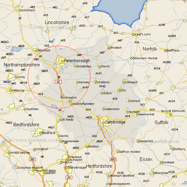
Cambridgeshire Map Showing Location of Stilton
Population: 2151
Area Size (ha): 57
District: Huntingdonshire
Easting: 516561 Northing: 288690
Latitude: 52.48 Longitude: -0.28
 = Stilton
Area Size (ha): 57
District: Huntingdonshire
Easting: 516561 Northing: 288690
Latitude: 52.48 Longitude: -0.28
= Stilton
This Stilton map below is supplied by Google. Use the tools in the top left corner to zoom into street level or zoom out for a road map, you may also need to zoom in to see Stilton on the map. Click and drag the map to move around. If the map fails to load try and refresh your browser or zoom in or out (+ or -).
Update - it seems Google no longer allow people to use their maps for free! This Stilton map sometimes loads and sometimes gives a error. I am working on a solution.
Closest 30 Towns or Cities to Stilton (Population over 500)
Folksworth 1.13km Yaxley 2.92km Holme 3.86km Sawtry 5.67km Farcet 6.51km Orton Waterville 7.5km Elton 8.76km Castor 9.87km Peterborough 11.35km Peterbrough 11.35km Petersborough 11.35km Ramsey 11.88km Whittlesey 12.57km Alconbury 13.01km Bury 14.46km Eye 14.63km Helpston 15.21km Helpstone 15.21km Wistow 15.5km Newborough 15.5km Glinton 16.68km Barnack 16.8km Spaldwick 17.02km Wittering 17.19km Warboys 17.36km Huntingdon 18.01km Ellington 18.52km Northborough 18.54km Brampton 18.83km Brampton Grange 18.83km