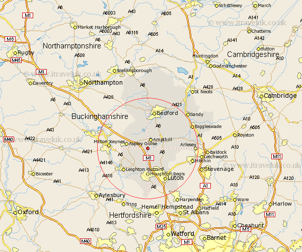
Bedfordshire Map Showing Location of Steppingley
Population: 233
District: Mid Bedfordshire
Easting: 501819 Northing: 234592
Latitude: 52 Longitude: -0.52
 = Steppingley
District: Mid Bedfordshire
Easting: 501819 Northing: 234592
Latitude: 52 Longitude: -0.52
= Steppingley
This Steppingley map below is supplied by Google. Use the tools in the top left corner to zoom into street level or zoom out for a road map, you may also need to zoom in to see Steppingley on the map. Click and drag the map to move around. If the map fails to load try and refresh your browser or zoom in or out (+ or -).
Update - it seems Google no longer allow people to use their maps for free! This Steppingley map sometimes loads and sometimes gives a error. I am working on a solution.
Closest 30 Towns or Cities to Steppingley (Population over 500)
Flitwick 2.28km Ampthill 3.88km Lidlington 4.35km Westoning 4.35km Flitton 4.56km Maulden 4.93km Pulloxhill 4.93km Marston Moretaine 6.01km Houghton Conquest 6.53km Silsoe 6.85km Clophill 7.09km Woburn 7.1km Toddington 7.5km Aspley Guise 8.2km Haynes 8.82km Barton in the Clay 8.82km Barton 8.82km Wootton 9.26km Wilstead 9.35km Wilshamstead 9.35km Willshamstead 9.35km Wilhamstead 9.35km Cranfield 9.35km Streatley 9.36km Sundon 9.88km Gravenhurst 10.27km Hockliffe 10.33km Campton and Chicksands 10.91km Houghton Regis 11.12km Kempston 11.35km