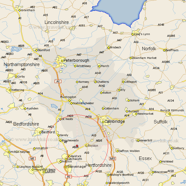
Cambridgeshire Map Showing Location of Steeple Morden
Population: 963
District: South Cambridgeshire
Easting: 529129 Northing: 240788
Latitude: 52.05 Longitude: -0.12
 = Steeple Morden
District: South Cambridgeshire
Easting: 529129 Northing: 240788
Latitude: 52.05 Longitude: -0.12
= Steeple Morden
This Steeple Morden map below is supplied by Google. Use the tools in the top left corner to zoom into street level or zoom out for a road map, you may also need to zoom in to see Steeple Morden on the map. Click and drag the map to move around. If the map fails to load try and refresh your browser or zoom in or out (+ or -).
Update - it seems Google no longer allow people to use their maps for free! This Steeple Morden map sometimes loads and sometimes gives a error. I am working on a solution.
Closest 30 Towns or Cities to Steeple Morden (Population over 500)
Steeple Morden 0km Litlington 2.94km Guilden Morden 3.87km Bassingbourn 4.92km Melbourn 9.84km Melborn 9.84km Meldreth 10.67km Orwell 11.51km Gamlingay 12.01km Barrington 12.65km Shepreth 13.59km Foulmere 14.16km Fowlmere 14.16km Foxton 14.56km Haslingfield 14.68km Great Gransden 14.87km Gransden 14.87km Needham Market 15.12km Bourn 15.5km Thriplow 15.82km Toft 16.32km Harston 16.51km Comberton 18.02km Hauxton 18.51km Duxford 18.6km Hardwicke 19km Hardwick 19km Shelford 19.43km Whittlesford 19.67km Papworth 20.38km