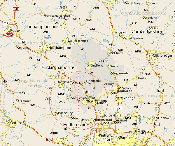
Bedfordshire Map Showing Location of Stanbridge
Population: 747
District: South Bedfordshire
Easting: 497459 Northing: 223380
Latitude: 51.9 Longitude: -0.58
 = Stanbridge
District: South Bedfordshire
Easting: 497459 Northing: 223380
Latitude: 51.9 Longitude: -0.58
= Stanbridge
This Stanbridge map below is supplied by Google. Use the tools in the top left corner to zoom into street level or zoom out for a road map, you may also need to zoom in to see Stanbridge on the map. Click and drag the map to move around. If the map fails to load try and refresh your browser or zoom in or out (+ or -).
Update - it seems Google no longer allow people to use their maps for free! This Stanbridge map sometimes loads and sometimes gives a error. I am working on a solution.
Closest 30 Towns or Cities to Stanbridge (Population over 500)
Hockliffe 1.86km Eaton Bray 3.7km Billington 3.9km Totternhoe 4.35km Houghton Regis 4.57km Leighton Buzzard 4.94km Dunstable 4.94km Toddington 5.05km Heath and Reach 5.88km Kensworth 7.98km Sundon 8.22km Woburn 9.54km Westoning 10.1km Studham 10.33km Caddington 10.71km Streatley 10.93km Luton 11.59km Barton 12.71km Barton in the Clay 12.71km Pulloxhill 13.01km Flitwick 13.06km Aspley Guise 13.42km Flitton 14.39km Lidlington 15km Maulden 15.87km Ampthill 15.89km Silsoe 15.94km Marston Moretaine 16.83km Clophill 17.29km Shillington 18.48km