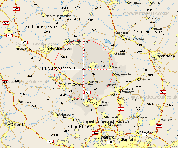
Bedfordshire Map Showing Location of Stagsden
Population: 354
District: Bedford
Easting: 499272 Northing: 247523
Latitude: 52.12 Longitude: -0.55
 = Stagsden
District: Bedford
Easting: 499272 Northing: 247523
Latitude: 52.12 Longitude: -0.55
= Stagsden
This Stagsden map below is supplied by Google. Use the tools in the top left corner to zoom into street level or zoom out for a road map, you may also need to zoom in to see Stagsden on the map. Click and drag the map to move around. If the map fails to load try and refresh your browser or zoom in or out (+ or -).
Update - it seems Google no longer allow people to use their maps for free! This Stagsden map sometimes loads and sometimes gives a error. I am working on a solution.
Closest 30 Towns or Cities to Stagsden (Population over 500)
Biddenham 3.88km Bromham 4.35km Wootton 4.36km Kempston 4.92km Bedford 5.12km Stevington 5.56km Clapham 5.87km Elstow 5.99km Oakley 6.01km Cranfield 6.53km Pavenham 7.41km Marston Moretaine 7.42km Milton Ernest 7.75km Turvey 7.95km Harrold 8.15km Carlton 8.15km Lidlington 9.27km Houghton Conquest 9.35km Wilstead 9.72km Wilshamstead 9.72km Willshamstead 9.72km Wilhamstead 9.72km Ampthill 9.88km Sharnbrook 11.18km Cople 11.38km Thurleigh 11.5km Haynes 11.75km Aspley Guise 12.49km Willington 12.65km Maulden 13.05km