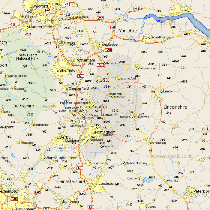
Nottinghamshire Map Showing Location of South Muskham
Population: 487
District: Newark and Sherwood
Easting: 479221 Northing: 356553
Latitude: 53.1 Longitude: -0.82
 = South Muskham
District: Newark and Sherwood
Easting: 479221 Northing: 356553
Latitude: 53.1 Longitude: -0.82
= South Muskham
This South Muskham map below is supplied by Google. Use the tools in the top left corner to zoom into street level or zoom out for a road map, you may also need to zoom in to see South Muskham on the map. Click and drag the map to move around. If the map fails to load try and refresh your browser or zoom in or out (+ or -).
Update - it seems Google no longer allow people to use their maps for free! This South Muskham map sometimes loads and sometimes gives a error. I am working on a solution.
Closest 30 Towns or Cities to South Muskham (Population over 500)
North Muskham 1.86km Muskham 1.86km Winthorpe 2.22km Newark 3.71km Newark-on-Trent 3.71km Newark upon Trent 3.71km Newark on Trent 3.71km Balderton 4.32km Coddington 4.82km Farndon 5.99km North Collingham 7.12km Collingham 7.12km Fiskerton Ferry 7.87km Fiskerton 7.87km Southwell 9.83km Elston 9.85km Bleasby 10.76km Tuxford 13.72km Flintham 14.12km Farnsfield 14.47km Bilsthorpe 14.93km Boughton 16.2km East Markham 17.26km Markham 17.26km East Bridgford 17.3km Oxton 17.6km Walesby 18.52km Ollerton 18.61km Aslockton 19.07km Aslocton 19.07km