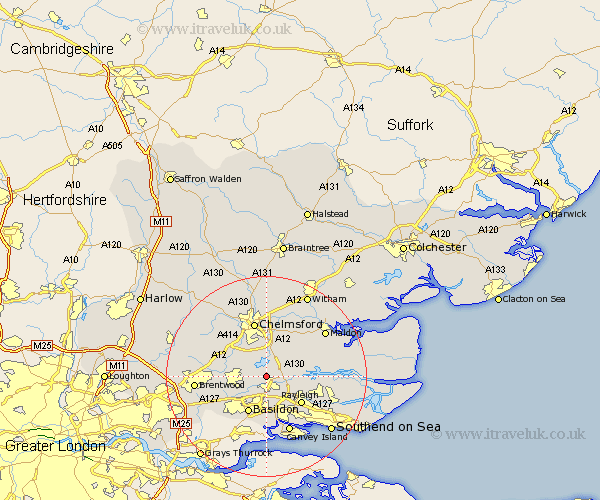
Essex Map Showing Location of South Hanningfield
Population: 2312
District: Chelmsford
Easting: 574149 Northing: 195772
Latitude: 51.63 Longitude: 0.52
 = South Hanningfield
District: Chelmsford
Easting: 574149 Northing: 195772
Latitude: 51.63 Longitude: 0.52
= South Hanningfield
This South Hanningfield map below is supplied by Google. Use the tools in the top left corner to zoom into street level or zoom out for a road map, you may also need to zoom in to see South Hanningfield on the map. Click and drag the map to move around. If the map fails to load try and refresh your browser or zoom in or out (+ or -).
Update - it seems Google no longer allow people to use their maps for free! This South Hanningfield map sometimes loads and sometimes gives a error. I am working on a solution.
Closest 30 Towns or Cities to South Hanningfield (Population over 500)
West Hanningfield 2.18km Rettendon 2.96km Wickford 3.7km East Hanningfield 4.37km Ramsden Heath 4.96km Rawreth 5.06km Woodham Ferrers 6.04km Stock 6.04km Billericay 7.15km Bickacre 7.21km Bicknacre 7.21km Great Baddow 7.51km Basildon 8.17km Danbury 8.18km Galleywood 8.18km Margaretting 8.86km Rayleigh 8.87km Great Burstead 8.87km Purleigh 9.92km Ingatestone 9.92km Hockley 10.75km Writtle 10.91km Woodham Mortimer 10.94km Cold Norton 10.99km Chelmsford 11.36km South Benfleet 11.36km Benfleet 11.36km North Fambridge 11.5km Fambridge 11.5km Mountnessing 11.5km