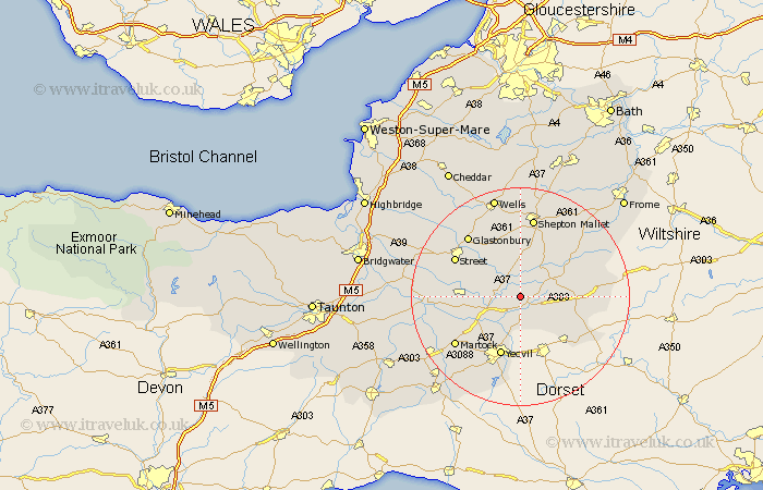
Somerset Map Showing Location of South Barrow
Population: 159
District: South Somerset
Easting: 359116 Northing: 128071
Latitude: 51.05 Longitude: -2.58
 = South Barrow
District: South Somerset
Easting: 359116 Northing: 128071
Latitude: 51.05 Longitude: -2.58
= South Barrow
This South Barrow map below is supplied by Google. Use the tools in the top left corner to zoom into street level or zoom out for a road map, you may also need to zoom in to see South Barrow on the map. Click and drag the map to move around. If the map fails to load try and refresh your browser or zoom in or out (+ or -).
Update - it seems Google no longer allow people to use their maps for free! This South Barrow map sometimes loads and sometimes gives a error. I am working on a solution.
Closest 30 Towns or Cities to South Barrow (Population over 500)
Sparkford 2.19km Queen Camel 3.7km North Cadbury 5.02km Castle Cary 5.95km Charlton Mackrell 6.11km Barton Saint David 7.25km Barton St David 7.25km Barton St. David 7.25km Mudford 7.77km Yeovilton 8.06km Ditcheat 8.2km Baltonsborough 8.76km Butleigh 8.93km Ilchester 8.94km Compton 10.85km Somerton 11.65km Yeovil 11.66km Redlynch 11.86km Bruton 11.86km West Pennard 12.06km Milborne Port 12.35km Evercreech 12.55km Pilton 12.98km Tintinhull 13.15km Wincanton 13.33km Long Sutton 13.35km Street 13.8km Montacute 14.52km Glastonbury 14.79km Walton 14.8km