Nottinghamshire Map Showing Location of Bulwell
Easting: 457059 Northing: 343260
Latitude: 52.98 Longitude: -1.15
 = Bulwell
Latitude: 52.98 Longitude: -1.15
= Bulwell
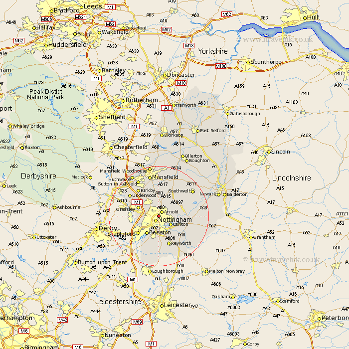
This Bulwell map below is supplied by Google. Use the tools in the top left corner to zoom into street level or zoom out for a road map, you may also need to zoom in to see Bulwell on the map. Click and drag the map to move around. If the map fails to load try and refresh your browser or zoom in or out (+ or -).
Update - it seems Google no longer allow people to use their maps for free! This Bulwell map sometimes loads and sometimes gives a error. I am working on a solution.
Closest 30 Towns or Cities to Bulwell (Population over 500)
Nottingham 2.16km Nottigham 2.16km Arnold 2.16km Lambley 5.58km Carlton 5.8km Colwick 5.8km Woodborough 6.7km Calverton 7.13km Claverton 7.13km Papplewick 7.74km West Bridgeford 7.74km West Bridgford 7.74km Kimberley 7.81km Burton Joyce 7.81km Greasley 8.64km Tollerton 8.65km Beeston 8.65km Awsworth 8.93km Cossall 9.12km Shelford 9.12km Oxton 9.28km Radcliffe on Trent 9.59km Radcliffe 9.59km Radcliffe-on-Trent 9.59km Annesley 9.98km Eastwood 10.21km Newstead 10.29km Trowell 10.52km Stapleford 10.77km Ruddington 11.12km