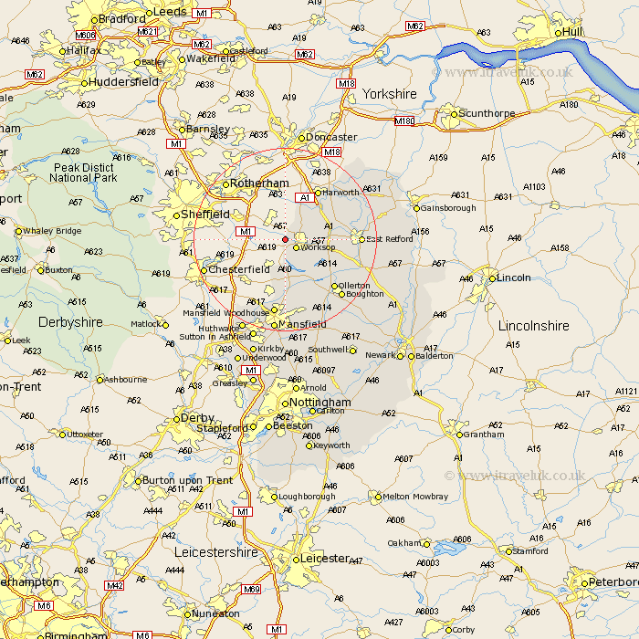
Nottinghamshire Map Showing Location of Shireoaks
Population: 1160
District: Bassetlaw
Easting: 455509 Northing: 380328
Latitude: 53.32 Longitude: -1.17
 = Shireoaks
District: Bassetlaw
Easting: 455509 Northing: 380328
Latitude: 53.32 Longitude: -1.17
= Shireoaks
This Shireoaks map below is supplied by Google. Use the tools in the top left corner to zoom into street level or zoom out for a road map, you may also need to zoom in to see Shireoaks on the map. Click and drag the map to move around. If the map fails to load try and refresh your browser or zoom in or out (+ or -).
Update - it seems Google no longer allow people to use their maps for free! This Shireoaks map sometimes loads and sometimes gives a error. I am working on a solution.
Closest 30 Towns or Cities to Shireoaks (Population over 500)
Worksop 2.89km Blyth 8.66km Styrrup 10.79km Ramskill 11.4km Ranskill 11.4km Sutton 12.72km Harworth 12.95km Warsop 13.02km Bircotes 13.55km Elksley 14.41km Elkesley 14.41km Ollerton 14.94km Walesby 15.32km East Retford 15.5km Mattersey 16.18km Edwinstowe 16.26km Mansfield Woodhouse 16.83km Everton 17.1km Clipstone 17.26km Boughton 17.36km Pleasley 17.58km Grove 17.81km Clarborough 18.09km Hayton 18.09km Misson 19.89km Gringley-on-the-Hill 19.97km Gringley 19.97km Gringley on the Hill 19.97km East Markham 20.24km Markham 20.24km