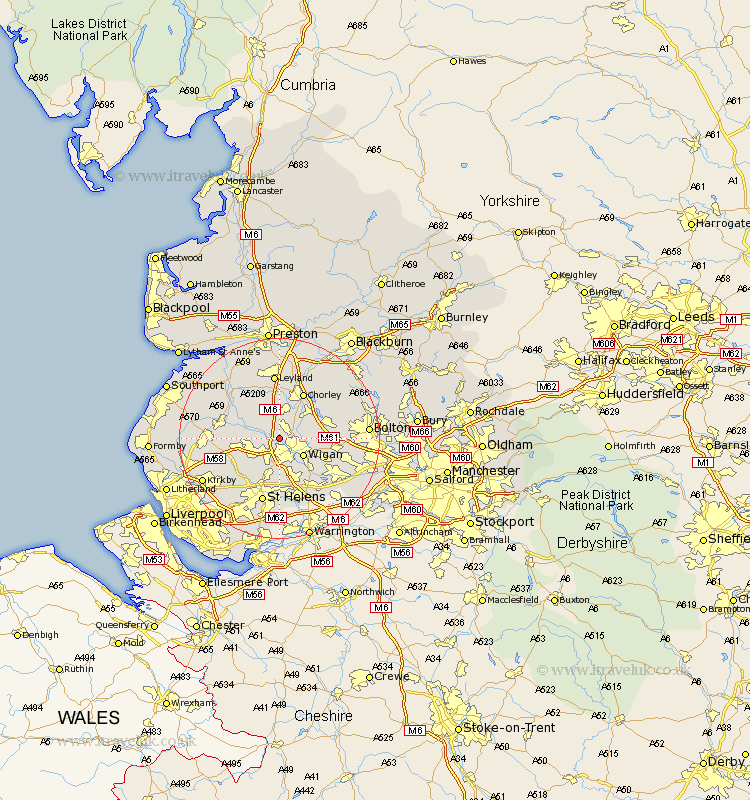
Lancashire Map Showing Location of Shevington
Population: 5569
Area Size (ha): 116
District: Wigan
Easting: 354748 Northing: 408031
Latitude: 53.57 Longitude: -2.68
 = Shevington
Area Size (ha): 116
District: Wigan
Easting: 354748 Northing: 408031
Latitude: 53.57 Longitude: -2.68
= Shevington
This Shevington map below is supplied by Google. Use the tools in the top left corner to zoom into street level or zoom out for a road map, you may also need to zoom in to see Shevington on the map. Click and drag the map to move around. If the map fails to load try and refresh your browser or zoom in or out (+ or -).
Update - it seems Google no longer allow people to use their maps for free! This Shevington map sometimes loads and sometimes gives a error. I am working on a solution.
Closest 30 Towns or Cities to Shevington (Population over 500)
Standish 2.15km Appley Bridge 2.2km Wigan 5.76km Ince-in-Makerfield 5.76km Ince 5.76km Parbold 5.8km Coppull 5.98km Adlington 6.63km Blackrod 6.86km Billinge 7.5km Haigh 7.57km Hindley 7.58km Eccleston 7.73km Mawdesley 7.82km Skelmersdale 8.55km Abram 8.64km Lathom 8.8km Euxton 9.33km Rainford 9.5km Ashton 9.53km Ashton in Makerfield 9.53km Horwich 9.55km Penrith 9.83km Burscough 10.07km Chorley 10.25km Croston 10.77km Westhoughton 11.16km Haydock 11.17km Rufford 11.35km Bickerstaffe 11.36km