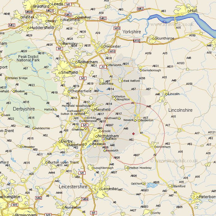
Nottinghamshire Map Showing Location of Shelton
Population: 107
District: Rushcliffe
Easting: 478316 Northing: 343555
Latitude: 52.98 Longitude: -0.83
 = Shelton
District: Rushcliffe
Easting: 478316 Northing: 343555
Latitude: 52.98 Longitude: -0.83
= Shelton
This Shelton map below is supplied by Google. Use the tools in the top left corner to zoom into street level or zoom out for a road map, you may also need to zoom in to see Shelton on the map. Click and drag the map to move around. If the map fails to load try and refresh your browser or zoom in or out (+ or -).
Update - it seems Google no longer allow people to use their maps for free! This Shelton map sometimes loads and sometimes gives a error. I am working on a solution.
Closest 30 Towns or Cities to Shelton (Population over 500)
Elston 4.33km Flintham 4.46km Aslocton 6.49km Aslockton 6.49km Farndon 7.5km East Bridgford 8.03km Fiskerton 8.65km Fiskerton Ferry 8.65km Bleasby 8.7km Newark 9.34km Newark upon Trent 9.34km Newark on Trent 9.34km Newark-on-Trent 9.34km Bingham 9.59km Balderton 9.86km Barnstone 10.28km Shelford 12.41km Coddington 12.44km Cropwell 12.48km Cropwell Butler 12.48km Burton Joyce 13.39km Winthorpe 13.4km Southwell 13.66km Cropwell Bishop 13.67km Radcliffe on Trent 14.5km Radcliffe 14.5km Radcliffe-on-Trent 14.5km North Muskham 14.88km Muskham 14.88km Lambley 15.62km