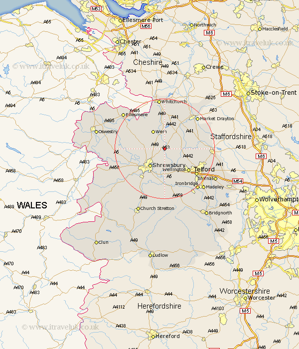
Shropshire Map Showing Location of Shawbury
Population: 2298
Area Size (ha): 335
District: North Shropshire
Easting: 356164 Northing: 320870
Latitude: 52.78 Longitude: -2.65
 = Shawbury
Area Size (ha): 335
District: North Shropshire
Easting: 356164 Northing: 320870
Latitude: 52.78 Longitude: -2.65
= Shawbury
This Shawbury map below is supplied by Google. Use the tools in the top left corner to zoom into street level or zoom out for a road map, you may also need to zoom in to see Shawbury on the map. Click and drag the map to move around. If the map fails to load try and refresh your browser or zoom in or out (+ or -).
Update - it seems Google no longer allow people to use their maps for free! This Shawbury map sometimes loads and sometimes gives a error. I am working on a solution.
Closest 30 Towns or Cities to Shawbury (Population over 500)
Stanton upon Hine Heath 3.71km Stanton 3.71km Hadnall 4.85km High Ercall 5km Ercall Magna 5km Rodington 5.99km Hodnet 8.67km Wem 8.67km Shrewsbury 9.29km Cherrington 10.26km Stoke upon Tern 10.79km Stoke 10.79km Wrockwardine 10.83km Prees 11.18km Precs 11.18km Bicton 12.52km Loppington 12.89km Wellington 12.9km Whixall 13.73km Trench 14.39km Hinstock 14.55km Hadley 14.55km Ketley 14.55km Baschurch 14.57km Baystonhill 14.61km Berrington 15.2km Cockshut 15.35km Cockshutt 15.35km Ford 15.36km Hanwood 15.8km