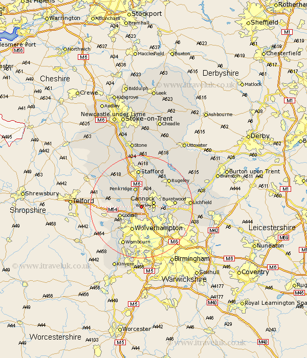
Staffordshire Map Showing Location of Shareshill
Population: 718
District: South Staffordshire
Easting: 394365 Northing: 307707
Latitude: 52.67 Longitude: -2.08
 = Shareshill
District: South Staffordshire
Easting: 394365 Northing: 307707
Latitude: 52.67 Longitude: -2.08
= Shareshill
This Shareshill map below is supplied by Google. Use the tools in the top left corner to zoom into street level or zoom out for a road map, you may also need to zoom in to see Shareshill on the map. Click and drag the map to move around. If the map fails to load try and refresh your browser or zoom in or out (+ or -).
Update - it seems Google no longer allow people to use their maps for free! This Shareshill map sometimes loads and sometimes gives a error. I am working on a solution.
Closest 30 Towns or Cities to Shareshill (Population over 500)
Wyrley 4.51km Great Wyrley 4.51km Cannock 4.86km Huntington 5.01km Brewood 5.91km Hednesford 6.73km Penkridge 7.74km Norton Canes 8.08km Codsall 8.7km Walsall 9.31km Wallsall 9.31km Wolverhampton 9.87km Wheaton Aston 10.57km Pelsall 10.58km Brownhills 10.78km Bednall 11.18km Bilston 11.18km Rushall 11.66km Burntwood 12.5km Aldridge 13.47km Hammerwich 13.62km Lower Penn 13.63km Church Eaton 13.71km Weston-under-Lizard 13.98km Weston under Lizard 13.98km Weston 13.98km Blymhill 14.58km Longdon 14.58km Colwich 14.61km Stafford 14.86km