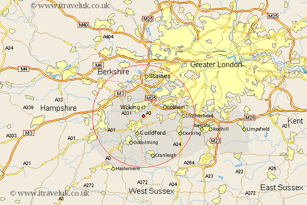
Surrey Map Showing Location of Send
Population: 5356
Area Size (ha): 266
District: Guildford
Easting: 502275 Northing: 154873
Latitude: 51.28 Longitude: -0.53
 = Send
Area Size (ha): 266
District: Guildford
Easting: 502275 Northing: 154873
Latitude: 51.28 Longitude: -0.53
= Send
This Send map below is supplied by Google. Use the tools in the top left corner to zoom into street level or zoom out for a road map, you may also need to zoom in to see Send on the map. Click and drag the map to move around. If the map fails to load try and refresh your browser or zoom in or out (+ or -).
Update - it seems Google no longer allow people to use their maps for free! This Send map sometimes loads and sometimes gives a error. I am working on a solution.
Closest 30 Towns or Cities to Send (Population over 500)
Send 0km Ripley 3.48km Woking 3.71km West Clandon 4.37km Worplesdon 4.64km West Horsley 6.08km Pirbright 6.95km Byfleet 7.24km Chobham 7.24km Ottershaw 7.42km St Martha 7.5km Chilworth 7.5km St. Martha 7.5km Saint Martha 7.5km Guilford 7.76km Guildford 7.76km East Horsley 7.88km Horsley 7.88km Bisley 8.9km Cobham 8.92km Church Cobham 8.92km Shalford 9.55km Albury 9.89km Addlestone 9.9km Normandy 9.99km Effingham 9.99km Shere 10.36km Weybridge 10.37km Wonersh 11.12km Bramley 11.18km