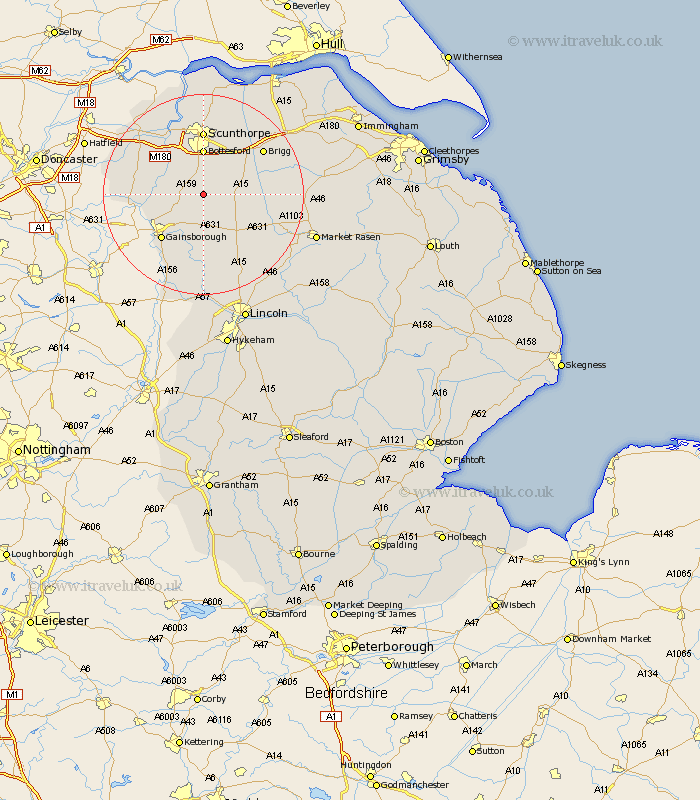
Lincolnshire Map Showing Location of Scotton
Population: 531
District: West Lindsey
Easting: 489607 Northing: 397538
Latitude: 53.47 Longitude: -0.65
 = Scotton
District: West Lindsey
Easting: 489607 Northing: 397538
Latitude: 53.47 Longitude: -0.65
= Scotton
This Scotton map below is supplied by Google. Use the tools in the top left corner to zoom into street level or zoom out for a road map, you may also need to zoom in to see Scotton on the map. Click and drag the map to move around. If the map fails to load try and refresh your browser or zoom in or out (+ or -).
Update - it seems Google no longer allow people to use their maps for free! This Scotton map sometimes loads and sometimes gives a error. I am working on a solution.
Closest 30 Towns or Cities to Scotton (Population over 500)
Scotter 2.15km Kirton 3.31km Kirton in Lindsey 3.31km Blyton 5.77km Messingham 7.41km Owston 7.94km Owston Ferry 7.94km Hibaldstow 8.56km Waddingham 9.02km Bottesford 9.26km Scawby 10.7km West Butterwick 11.38km Morton 11.53km Gainesborough 12.07km Gainsborough 12.07km Haxey 12.27km Epworth 12.35km Burringham 12.94km Broughton 12.94km Lea 12.94km Scunthorpe 12.97km Willingham 13.16km Gunhouse 14.09km Gunness 14.09km South Kelsey 14.34km Belton 14.4km Brigg 14.4km Ingham 15.48km North Kelsey 15.55km Keadby 15.81km