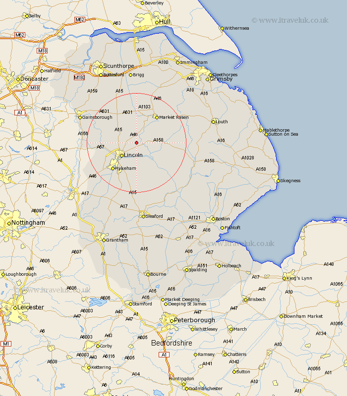
Lincolnshire Map Showing Location of Scothern
Population: 892
District: West Lindsey
Easting: 503325 Northing: 377409
Latitude: 53.28 Longitude: -0.45
 = Scothern
District: West Lindsey
Easting: 503325 Northing: 377409
Latitude: 53.28 Longitude: -0.45
= Scothern
This Scothern map below is supplied by Google. Use the tools in the top left corner to zoom into street level or zoom out for a road map, you may also need to zoom in to see Scothern on the map. Click and drag the map to move around. If the map fails to load try and refresh your browser or zoom in or out (+ or -).
Update - it seems Google no longer allow people to use their maps for free! This Scothern map sometimes loads and sometimes gives a error. I am working on a solution.
Closest 30 Towns or Cities to Scothern (Population over 500)
Sudbrooke 1.85km Dunholm 2.16km Dunholme 2.16km Nettleham 2.88km Welton 2.89km Cherry Willingham 5.66km Fiskerton 5.67km Reepham 5.67km Washingborough 7.49km Lincoln 7.85km Holton 7.97km Scampton 7.97km Scrampton 7.97km Heighington 9.33km Wragby 9.97km Ingham 10.46km Branston 11.17km Potter Hanworth 11.34km Bardney 11.56km Skellingthorpe 12.4km Middle Rasen 12.42km Nocton 13.15km Saxilby 13.43km Market Rasen 13.55km Waddington 14.1km Hykeham 14.22km North Hykeham 14.22km Dunston 15.19km Thorpe-on-the-Hill 16.51km Thorpe 16.51km