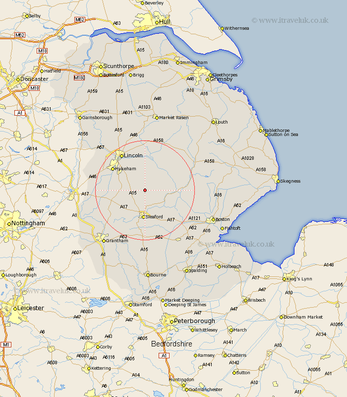
Lincolnshire Map Showing Location of Scopwick
Population: 707
District: North Kesteven
Easting: 507114 Northing: 357095
Latitude: 53.1 Longitude: -0.4
 = Scopwick
District: North Kesteven
Easting: 507114 Northing: 357095
Latitude: 53.1 Longitude: -0.4
= Scopwick
This Scopwick map below is supplied by Google. Use the tools in the top left corner to zoom into street level or zoom out for a road map, you may also need to zoom in to see Scopwick on the map. Click and drag the map to move around. If the map fails to load try and refresh your browser or zoom in or out (+ or -).
Update - it seems Google no longer allow people to use their maps for free! This Scopwick map sometimes loads and sometimes gives a error. I am working on a solution.
Closest 30 Towns or Cities to Scopwick (Population over 500)
Bloxholm 2.17km Bloxholme 2.17km Digby 2.9km Metheringham 3.7km Martin 4.82km Dunston 5.56km Brauncewell 5.99km Buskington 7.5km Ruskington 7.5km Nocton 7.5km Navenby 7.79km Billinghay 8.01km Cranwell 8.65km Wellingore 8.9km Potter Hanworth 9.33km Heasingham 9.33km Leasingham 9.33km Branston 10.28km Welbourn 10.68km Waddington 11.58km Sleaford 11.88km Heighington 11.98km Tattershall 13.35km Woodhall Spa 13.44km Washingborough 13.72km Bardney 14.12km Fulbeck 14.32km Fiskerton 14.99km Reepham 14.99km Cherry Willingham 15.05km