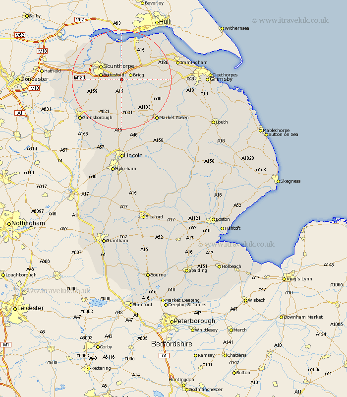
Lincolnshire Map Showing Location of Scawby
Population: 1910
Area Size (ha): 71
Easting: 497198 Northing: 405099
Latitude: 53.53 Longitude: -0.53
 = Scawby
Area Size (ha): 71
Easting: 497198 Northing: 405099
Latitude: 53.53 Longitude: -0.53
= Scawby
This Scawby map below is supplied by Google. Use the tools in the top left corner to zoom into street level or zoom out for a road map, you may also need to zoom in to see Scawby on the map. Click and drag the map to move around. If the map fails to load try and refresh your browser or zoom in or out (+ or -).
Update - it seems Google no longer allow people to use their maps for free! This Scawby map sometimes loads and sometimes gives a error. I am working on a solution.
Closest 30 Towns or Cities to Scawby (Population over 500)
Hibaldstow 3.7km Brigg 3.79km Broughton 3.87km Wrawby 5.76km Messingham 7.71km Bottesford 7.93km Kirton 8.62km Kirton in Lindsey 8.62km Waddingham 9.33km Scunthorpe 9.5km North Kelsey 9.51km Appleby 9.53km Barnetby le Wold 9.56km Barnetby 9.56km South Kelsey 9.93km Scotter 10.42km Scotton 10.7km Flixborough 13.57km Winterton 13.7km Gunness 14.33km Gunhouse 14.33km West Butterwick 14.44km Burringham 14.79km South Ferriby 15km Keadby 15.15km Caistor 15.37km Nettleton 15.37km Ulceby 16.14km Burton 16.32km Burton upon Stather 16.32km