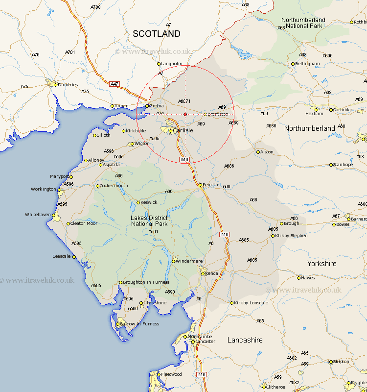
Cumbria Map Showing Location of Scaleby
Population: 349
District: Carlisle
Easting: 345565 Northing: 562044
Latitude: 54.95 Longitude: -2.85
 = Scaleby
District: Carlisle
Easting: 345565 Northing: 562044
Latitude: 54.95 Longitude: -2.85
= Scaleby
This Scaleby map below is supplied by Google. Use the tools in the top left corner to zoom into street level or zoom out for a road map, you may also need to zoom in to see Scaleby on the map. Click and drag the map to move around. If the map fails to load try and refresh your browser or zoom in or out (+ or -).
Update - it seems Google no longer allow people to use their maps for free! This Scaleby map sometimes loads and sometimes gives a error. I am working on a solution.
Closest 30 Towns or Cities to Scaleby (Population over 500)
Irthington 5.64km Brampton 7.45km Stanwix 7.7km Hayton 8.47km Rockcliff 8.72km Rockcliffe 8.72km Carlisle 9.13km Longtown 9.29km Wetheral 9.5km Farlam 11.27km Burgh by Sands 13.3km Burgh-by-Sands 13.3km Burgh 13.3km Dalston 15.53km Thursby 18.22km Ainstable 18.27km Kirkoswald 22.53km Wigton 23.16km Bowness-on-Solway 23.42km Bowness on Solway 23.42km Kirkbride 23.57km Westward 25.93km Lazonby 25.94km Lasonby 25.94km Hesket Newmarket 26.35km Caldbeck 27.29km Skelton 27.82km Bromfield 31.45km Langwathby 31.9km Greystoke 33.38km