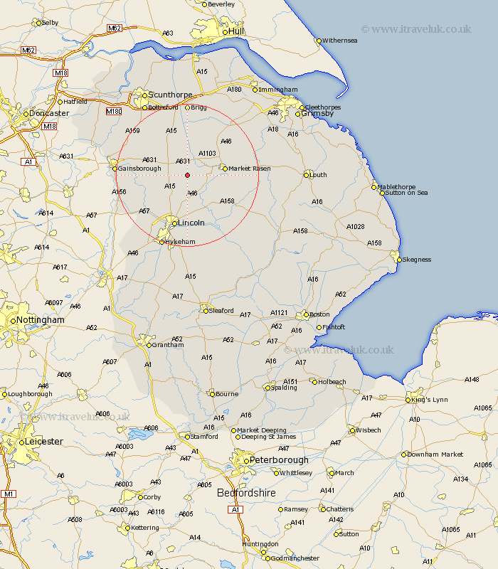
Lincolnshire Map Showing Location of Saxby
Population: 45
District: West Lindsey
Easting: 500906 Northing: 386638
Latitude: 53.37 Longitude: -0.48
 = Saxby
District: West Lindsey
Easting: 500906 Northing: 386638
Latitude: 53.37 Longitude: -0.48
= Saxby
This Saxby map below is supplied by Google. Use the tools in the top left corner to zoom into street level or zoom out for a road map, you may also need to zoom in to see Saxby on the map. Click and drag the map to move around. If the map fails to load try and refresh your browser or zoom in or out (+ or -).
Update - it seems Google no longer allow people to use their maps for free! This Saxby map sometimes loads and sometimes gives a error. I am working on a solution.
Closest 30 Towns or Cities to Saxby (Population over 500)
Welton 7.42km Dunholme 7.5km Dunholm 7.5km Ingham 7.61km Middle Rasen 7.96km Scampton 9.25km Scrampton 9.25km Waddingham 9.52km Scothern 9.53km Market Rasen 10.12km Nettleham 11.12km Sudbrooke 11.34km South Kelsey 11.6km Holton 12.42km Willingham 13.4km Kirton 13.54km Kirton in Lindsey 13.54km North Kelsey 13.7km Hibaldstow 15.19km Cherry Willingham 15.19km Fiskerton 15.2km Reepham 15.2km Lincoln 15.2km Wragby 15.31km Scotton 15.67km Saxilby 15.69km Washingborough 16.72km Nettleton 17.03km Caistor 17.03km Blyton 17.15km