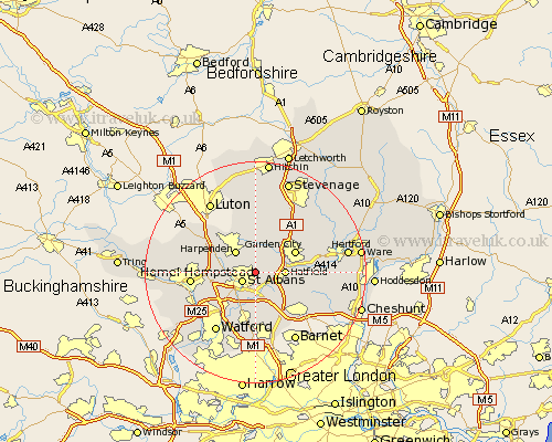
Hertfordshire Map Showing Location of Sandridge
Population: 11102
District: St Albans
Easting: 517296 Northing: 208975
Latitude: 51.77 Longitude: -0.3
 = Sandridge
District: St Albans
Easting: 517296 Northing: 208975
Latitude: 51.77 Longitude: -0.3
= Sandridge
This Sandridge map below is supplied by Google. Use the tools in the top left corner to zoom into street level or zoom out for a road map, you may also need to zoom in to see Sandridge on the map. Click and drag the map to move around. If the map fails to load try and refresh your browser or zoom in or out (+ or -).
Update - it seems Google no longer allow people to use their maps for free! This Sandridge map sometimes loads and sometimes gives a error. I am working on a solution.
Closest 30 Towns or Cities to Sandridge (Population over 500)
Saint Albans 2.95km St Albans 2.95km St. Albans 2.95km Wheathampstead 3.88km Hatfield 5.05km Harpenden 5.05km Colney Heath 5.06km London Olney 5.68km London Colney 5.68km Redbourn 6.02km North Mymms 6.54km Welwyn Garden City 7.81km Garden City 7.81km Brookmans Park 8.85km Bishops Hatfield 9.18km Kimpton 9.33km Radlett 9.35km Welwyn 9.36km Shenley 9.55km Codicote 10.33km Essendon 10.49km Flamstead 10.72km Abbots Langley 10.93km Hemel Hempstead 11.62km Aldenham 11.64km Tewin 11.72km Knebworth 12.25km Harmer Green 12.25km Markyatestreet 12.7km Markyate 12.7km